Greta Valley Area, Greta Valley Postcode & Map in Greta Valley
Greta Valley Area, Greta Valley Postcode & Map in Greta Valley, Hurunui District, New Zealand
Greta Valley, Hurunui District, New Zealand
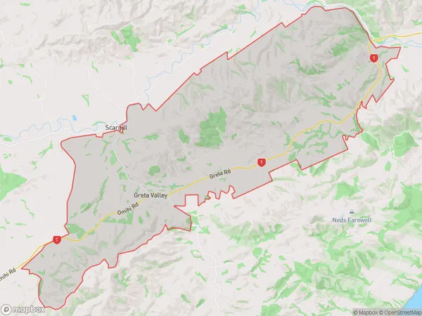
Greta Valley Area (estimated)
119.3 square kilometersGreta Valley Population (estimated)
181 people live in Greta Valley, Canterbury, NZGreta Valley Suburb Area Map (Polygon)
Greta Valley Introduction
Greta Valley is a picturesque rural community located in the Canterbury region of New Zealand, known for its stunning natural beauty, including rolling hills, picturesque farms, and the picturesque Greta River. The area is popular with outdoor enthusiasts and nature lovers, with many opportunities for hiking, biking, and fishing. The village also has a vibrant community center with a library, a community hall, and a variety of shops and services.Region
Major City
Suburb Name
Greta ValleyOther Name(s)
Scargill ValleyGreta Valley Area Map (Street)
Local Authority
Hurunui DistrictFull Address
Greta Valley, Hurunui District, New ZealandAddress Type
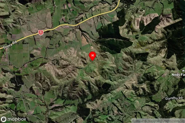
Locality in Major Locality Greta ValleyGreta Valley Suburb Map (Satellite)
Country
Main Region in AU
CanterburyGreta Valley Region Map
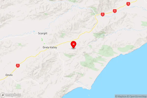
Coordinates
-42.967365,173.03475 (latitude/longitude)Distances
The distance from Greta Valley, Greta Valley, Hurunui District to NZ Top 10 Cities