Gore Bay Suburbs & Region, Gore Bay Map & Postcodes in Gore Bay, Hurunui, Canterbury
Gore Bay Postcodes, Gore Bay ZipCodes, Gore Bay , Gore Bay Canterbury, Gore Bay Suburbs, Gore Bay Region, Gore Bay Map, Gore Bay Area
Gore Bay Region (Nonoti, South Cheviot Region)
Gore Bay Suburbs
Gore Bay is a suburb place type in Hurunui, Canterbury, NZ. It contains 0 suburbs or localities.Gore Bay district
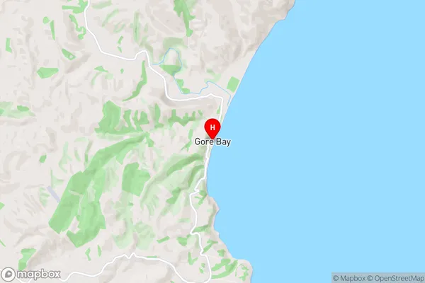
HurunuiGore Bay Region Map
Gore Bay Introduction
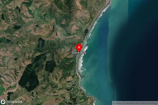
Gore Bay is a small settlement located on the eastern coast of the South Island of New Zealand, in the Canterbury region. It is situated about 10 kilometers south of Timaru and 20 kilometers north of Oamaru. The bay is surrounded by rugged coastal terrain and is known for its stunning natural beauty, including picturesque beaches, rugged cliffs, and lush forests. The area is popular with tourists and outdoor enthusiasts, who enjoy activities such as hiking, fishing, and kayaking. Gore Bay has a population of around 100 people and is served by a local school and a small convenience store. The bay is also home to a number of historic buildings, including the Gore Bay Hotel, which was built in the 1880s.Gore Bay Region
Gore Bay City
Gore Bay Satellite Map
Full Address
Gore Bay, Hurunui, CanterburyGore Bay Coordinates
-42.858689,173.309728 (Latitude / Longitude)Gore Bay Map in NZ
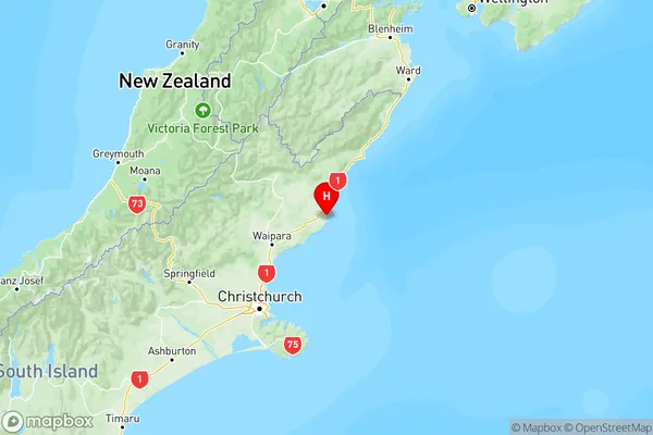
NZ Island
South IslandCountry
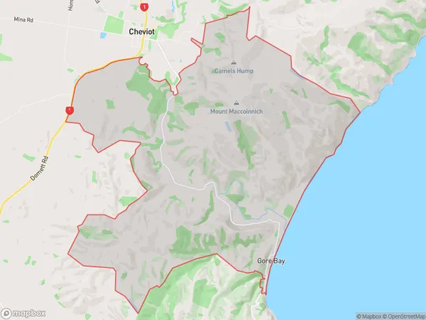
Gore Bay Area Map (Polygon)
Name
Gore BayAdditional Name
Nonoti, South CheviotLocal Authority
Hurunui District
Gore Bay Suburbs (Sort by Population)
Gore Bay also known as Nonoti, South Cheviot. Gore Bay suburb has around
29.8 square
kilometers.There are more than 80 people (estimated)
live in Gore Bay, Cheviot, Canterbury, New Zealand.