Runanga Suburbs & Region, Runanga Map & Postcodes in Runanga, Grey, West Coast
Runanga Postcodes, Runanga ZipCodes, Runanga , Runanga West Coast, Runanga Suburbs, Runanga Region, Runanga Map, Runanga Area
Runanga Region
Runanga Suburbs
Runanga is a suburb place type in Grey, West Coast, NZ. It contains 0 suburbs or localities.Runanga district
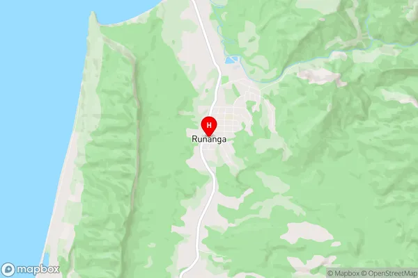
GreyRunanga Region Map
Runanga Introduction
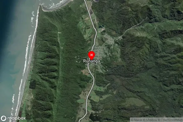
Runanga is a small rural community on the West Coast of New Zealand's South Island. It is located in the Grey District and is surrounded by stunning natural scenery, including the Southern Alps and the West Coast Range. The community has a population of around 100 people and is known for its friendly community spirit and traditional Maori culture. The area is popular with tourists and outdoor enthusiasts, who enjoy hiking, fishing, and hunting in the surrounding forests and rivers. There is a small primary school in Runanga and a community hall that hosts various events and activities throughout the year. The community is also home to a number of historic buildings, including a former church and a restored wharehouse.Runanga Region
Runanga City
Runanga Satellite Map
Full Address
Runanga, Grey, West CoastRunanga Coordinates
-42.403068,171.247621 (Latitude / Longitude)Runanga Map in NZ
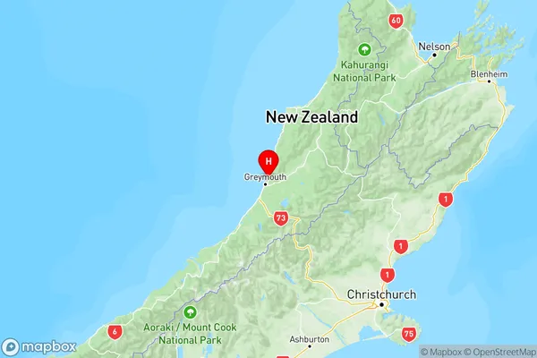
NZ Island
South IslandCountry
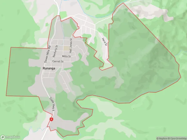
Runanga Area Map (Polygon)
Name
RunangaAdditional Name
Local Authority
Grey District
Runanga Suburbs (Sort by Population)
Runanga suburb has around
7.0 square
kilometers.There are more than 809 people (estimated)
live in Runanga, Greymouth, West Coast, New Zealand.