Dunollie Area, Dunollie Postcode & Map in Dunollie
Dunollie Area, Dunollie Postcode & Map in Dunollie, Grey District, New Zealand
Dunollie, Grey District, New Zealand
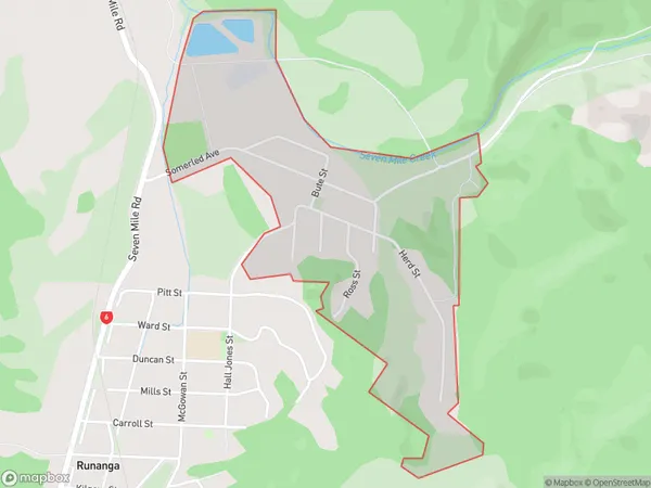
Dunollie Area (estimated)
1.0 square kilometersDunollie Population (estimated)
322 people live in Dunollie, West Coast, NZDunollie Suburb Area Map (Polygon)
Dunollie Introduction
Dunollie is a small rural community on the West Coast of New Zealand's South Island. It is located in the Grey District and is known for its scenic surroundings, including the Dunollie Forest Park and the Dunollie Waterfall. The community has a population of around 100 people and is surrounded by farmland and natural beauty.Region
Major City
Suburb Name
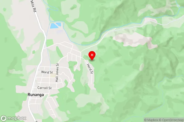
DunollieDunollie Area Map (Street)
Local Authority
Grey DistrictFull Address
Dunollie, Grey District, New ZealandAddress Type
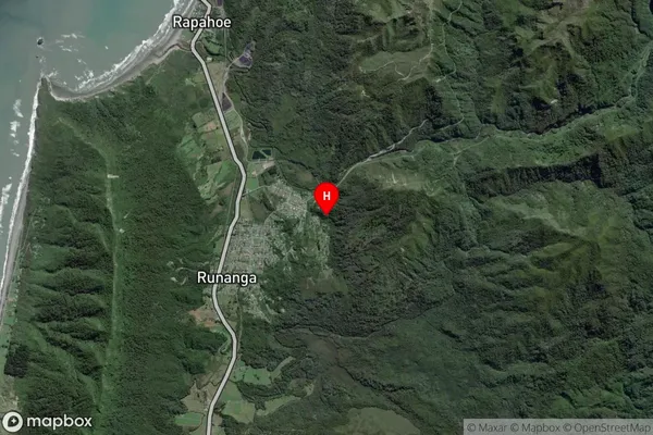
Suburb in Town RunangaDunollie Suburb Map (Satellite)
Country
Main Region in AU
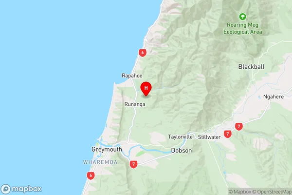
West CoastDunollie Region Map
Coordinates
-42.3960788,171.2633801 (latitude/longitude)Distances
The distance from Dunollie, Runanga, Grey District to NZ Top 10 Cities