Runanga Area, Runanga Postcode(7802) & Map in Runanga
Runanga Area, Runanga Postcode(7802) & Map in Runanga, Grey District, New Zealand
Runanga, Grey District, New Zealand
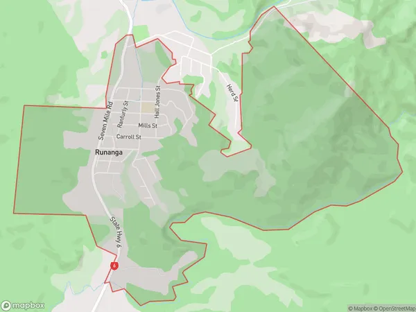
Runanga Area (estimated)
7.0 square kilometersRunanga Population (estimated)
809 people live in Runanga, West Coast, NZRunanga Suburb Area Map (Polygon)
Runanga Introduction
Runanga is a small rural community on the West Coast of New Zealand's South Island. It is located in the Grey District and is known for its scenic surroundings, including the Runanga River and the surrounding mountains. The community has a population of around 100 people and is home to a primary school, a church, and a few small businesses.Region
Major City
Suburb Name
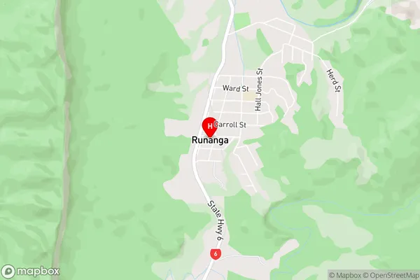
RunangaRunanga Area Map (Street)
Local Authority
Grey DistrictFull Address
Runanga, Grey District, New ZealandAddress Type
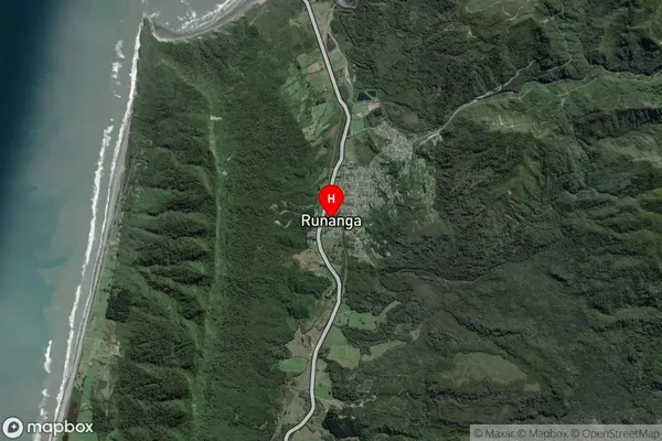
Suburb in Town RunangaRunanga Suburb Map (Satellite)
Country
Main Region in AU
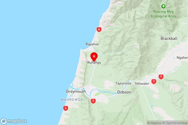
West CoastRunanga Region Map
Coordinates
-42.4030681,171.2476206 (latitude/longitude)Distances
The distance from Runanga, Runanga, Grey District to NZ Top 10 Cities