Whareora Suburbs & Region, Whareora Map & Postcodes in Whareora, Whangarei, Northland
Whareora Postcodes, Whareora ZipCodes, Whareora , Whareora Northland, Whareora Suburbs, Whareora Region, Whareora Map, Whareora Area
Whareora Region (Brynavon, Tahere, Wharaora Region)
Whareora Suburbs
Whareora is a suburb place type in Whangarei, Northland, NZ. It contains 1 suburbs or localities.Whareora Postcodes
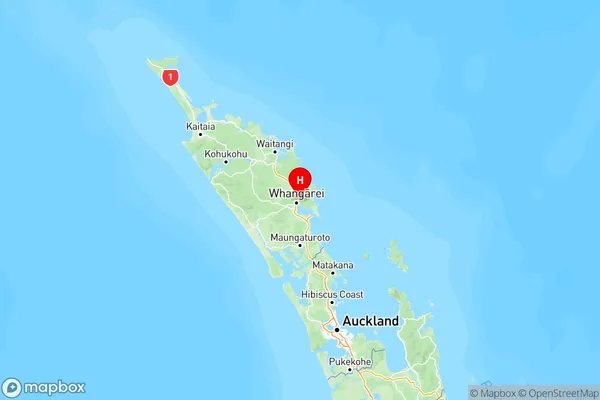
Whareora Region Map
Whareora Introduction
Whareora is a small town in Northland, New Zealand, with a population of around 100 people. It is located on the banks of the Hokianga Harbour and is known for its beautiful beaches and scenic surroundings. The town has a primary school, a post office, and a small supermarket. Whareora is also home to a number of historic buildings, including a church and a former hotel. The town is surrounded by farmland and is a popular destination for outdoor activities such as hiking, fishing, and kayaking.Whareora Region
Whareora City
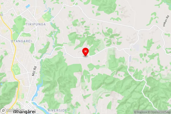
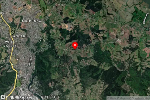
Whareora Satellite Map
Full Address
Whareora, Whangarei, NorthlandWhareora Coordinates
-35.7008237,174.3563563 (Latitude / Longitude)Whareora Map in NZ
NZ Island
North IslandCountry
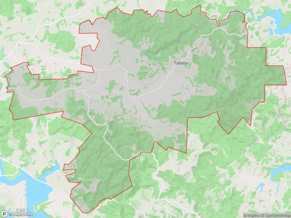
Whareora Area Map (Polygon)
Name
WhareoraAdditional Name
Brynavon, Tahere, WharaoraLocal Authority
Whangarei District
Whareora Suburbs (Sort by Population)
Whareora
Whareora - 994