Whareora Area, Whareora Postcode(0175) & Map in Whareora
Whareora Area, Whareora Postcode(0175) & Map in Whareora, Whangarei District, New Zealand
Whareora, Whangarei District, New Zealand
Whareora Postcodes
Whareora Area (estimated)
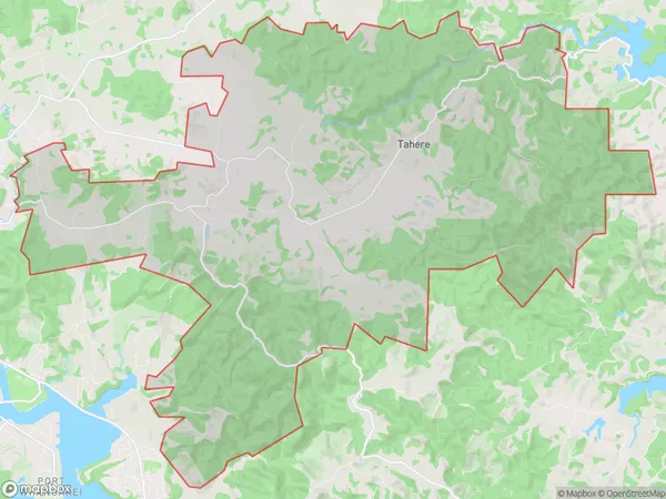
83.4 square kilometersWhareora Population (estimated)
994 people live in Whareora, Whangārei, NZWhareora Suburb Area Map (Polygon)
Whareora Introduction
Whareora is a small rural community in Northland, New Zealand. It is located on State Highway 12 and is about 12 km south of Kaikohe. The community has a population of around 100 people and is known for its beautiful natural surroundings, including the Whareora Forest and the Whareora River. The area is popular with tourists and outdoor enthusiasts, who enjoy hiking, fishing, and kayaking in the nearby waterways.Region
Major City
Suburb Name
WhareoraOther Name(s)
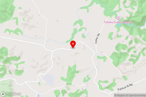
Brynavon, Tahere, WharaoraWhareora Area Map (Street)
Local Authority
Whangarei DistrictFull Address
Whareora, Whangarei District, New ZealandAddress Type
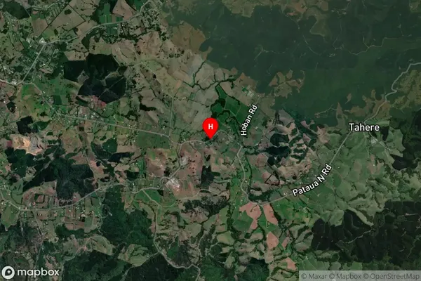
Locality in Major Locality WhareoraWhareora Suburb Map (Satellite)
Country
Main Region in AU
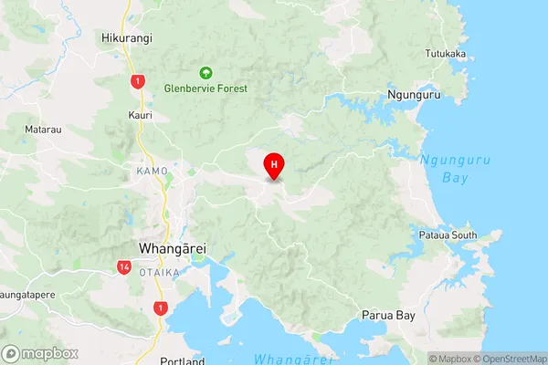
NorthlandWhareora Region Map
Coordinates
-35.6871912,174.3955296 (latitude/longitude)Distances
The distance from Whareora, Whareora, Whangarei District to NZ Top 10 Cities