Ahaura Suburbs & Region, Ahaura Map & Postcodes in Ahaura, Grey, West Coast
Ahaura Postcodes, Ahaura ZipCodes, Ahaura , Ahaura West Coast, Ahaura Suburbs, Ahaura Region, Ahaura Map, Ahaura Area
Ahaura Region
Ahaura Suburbs
Ahaura is a suburb place type in Grey, West Coast, NZ. It contains 2 suburbs or localities.Ahaura Postcodes
Ahaura district
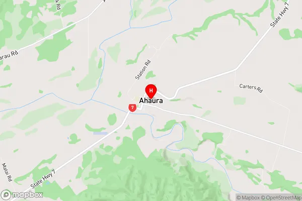
GreyAhaura Region Map
Ahaura Introduction
Ahaura is a small rural community on the West Coast of New Zealand's South Island. It is located 12 kilometers north of Hokitika and 220 kilometers south of Westport. The community is known for its stunning natural surroundings, including the Ahaura Forest Park, which is a popular spot for hiking and camping. The area has a rich cultural history, with the local Maori people having a strong presence in the community. The town also has a primary school, a post office, and a small supermarket.Ahaura Region
Ahaura City
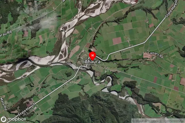
Ahaura Satellite Map
Full Address
Ahaura, Grey, West CoastAhaura Coordinates
-42.347649,171.543557 (Latitude / Longitude)Ahaura Map in NZ
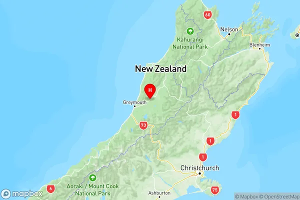
NZ Island
South IslandCountry
Ahaura Suburbs (Sort by Population)
Ahaura
Ahaura - 218Totara Flat
Totara Flat - 162