Totara Flat Area, Totara Flat Postcode & Map in Totara Flat, Buller District
Totara Flat Area, Totara Flat Postcode & Map in Totara Flat, Buller District, Grey District, New Zealand
Totara Flat, Buller District, Grey District, New Zealand
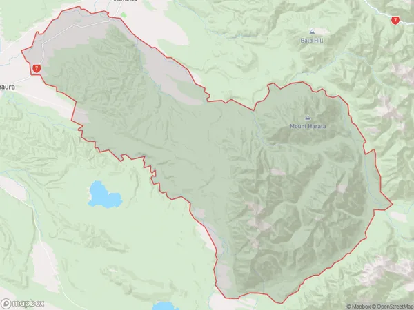
Totara Flat Area (estimated)
578.8 square kilometersTotara Flat Population (estimated)
162 people live in Totara Flat, West Coast, NZTotara Flat Suburb Area Map (Polygon)

Totara Flat Introduction
Totara Flat is a historic settlement located in Ahaura, West Coast, New Zealand. It was once a thriving gold mining town during the 1860s and 1870s. The area is now known for its scenic beauty, including the Totara Forest and the Ahaura River. The settlement also has a rich cultural heritage, with several historic buildings and monuments preserved.Region
Major City
Suburb Name
Totara FlatOther Name(s)
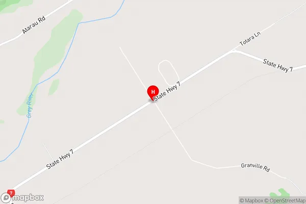
Nobles, Raupo, WaipunaTotara Flat Area Map (Street)

Local Authority
Buller District, Grey DistrictFull Address
Totara Flat, Buller District, Grey District, New ZealandAddress Type
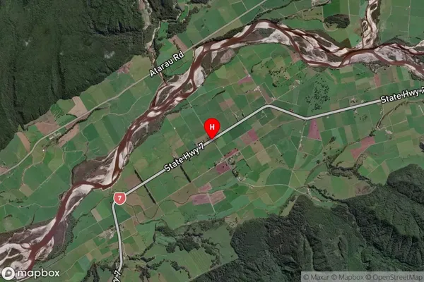
Locality in Major Locality AhauraTotara Flat Suburb Map (Satellite)

Country
Main Region in AU
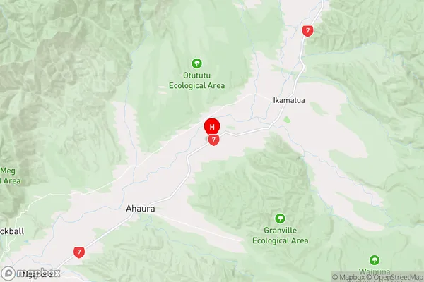
West CoastTotara Flat Region Map

Coordinates
-42.2991141,171.6130198 (latitude/longitude)Distances
The distance from Totara Flat, Ahaura, Buller District, Grey District to NZ Top 10 Cities