Ahaura Area, Ahaura Postcode(7871) & Map in Ahaura
Ahaura Area, Ahaura Postcode(7871) & Map in Ahaura, Grey District, New Zealand
Ahaura, Grey District, New Zealand
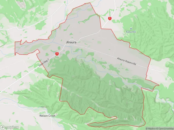
Ahaura Area (estimated)
84.2 square kilometersAhaura Population (estimated)
218 people live in Ahaura, West Coast, NZAhaura Suburb Area Map (Polygon)
Ahaura Introduction
Ahaura is a small rural community on the West Coast of New Zealand's South Island. It is located in the Grey District and is known for its natural beauty, including the Ahaura River and the surrounding forest. The community has a population of around 100 people and is home to a primary school, a church, and a few small businesses.Region
Major City
Suburb Name
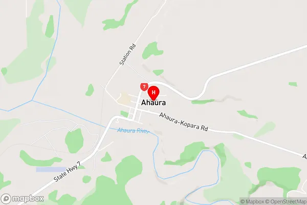
AhauraAhaura Area Map (Street)
Local Authority
Grey DistrictFull Address
Ahaura, Grey District, New ZealandAddress Type
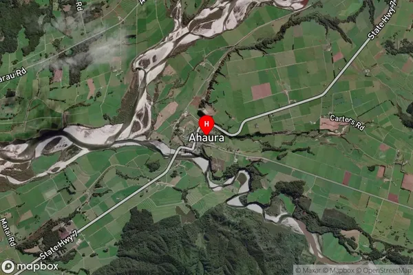
Locality in Major Locality AhauraAhaura Suburb Map (Satellite)
Country
Main Region in AU
West CoastAhaura Region Map

Coordinates
-42.3476486,171.5435572 (latitude/longitude)Distances
The distance from Ahaura, Ahaura, Grey District to NZ Top 10 Cities