Pohara Suburbs & Region, Pohara Map & Postcodes in Pohara, Tasman, Nelson & Bays
Pohara Postcodes, Pohara ZipCodes, Pohara , Pohara Tasman, Pohara Suburbs, Pohara Region, Pohara Map, Pohara Area
Pohara Region (Tarakohe Region)
Pohara Suburbs
Pohara is a suburb place type in Tasman, Nelson & Bays, NZ. It contains 0 suburbs or localities.Pohara district
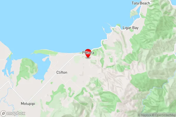
TasmanPohara Region Map
Pohara Introduction
Pohara is a small coastal town located in the Tasman District of New Zealand's South Island. It is situated on the Golden Bay coast, approximately 30 kilometers southeast of Nelson. Pohara is known for its stunning beaches, crystal-clear waters, and vibrant coastal culture. The town has a population of around 2,000 people and is a popular destination for tourists and locals alike. It is home to a number of historic buildings, including the Pohara Beach Hotel, which was built in 1875. The town also has a popular beachside campground, a golf course, and a number of recreational facilities. Pohara is surrounded by stunning natural scenery, including the Abel Tasman National Park, which is a World Heritage Site and is known for its hiking trails, scenic beaches, and wildlife.Pohara Region
Pohara City
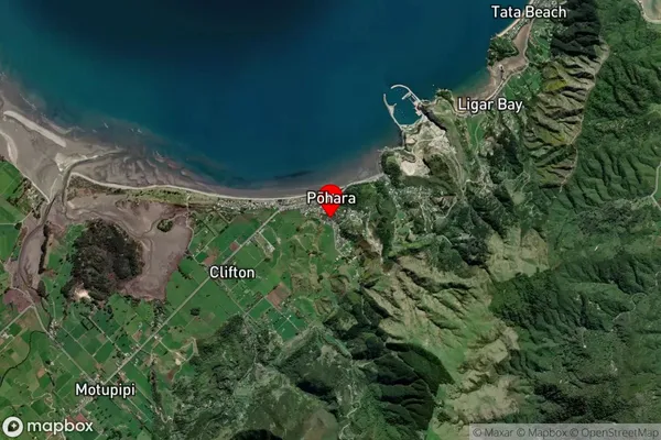
Pohara Satellite Map
Full Address
Pohara, Tasman, Nelson & BaysPohara Coordinates
-40.835982,172.88463 (Latitude / Longitude)Pohara Map in NZ
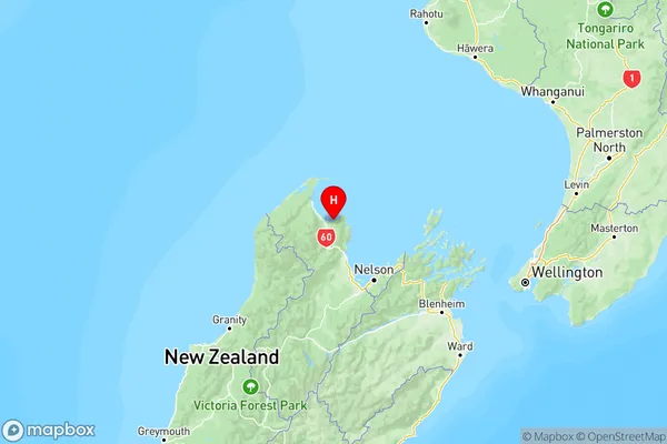
NZ Island
South IslandCountry
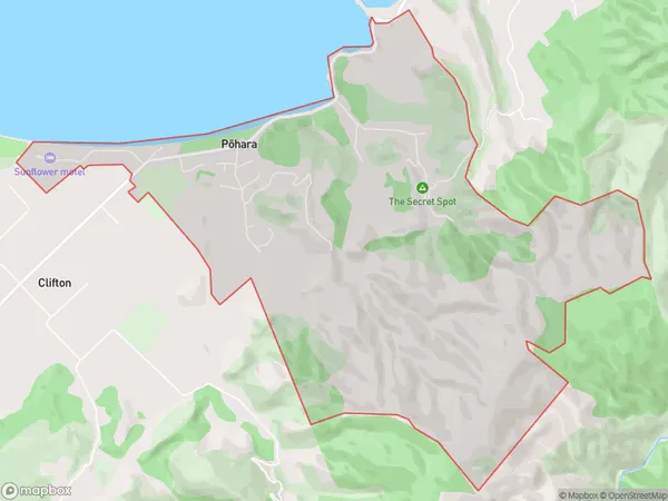
Pohara Area Map (Polygon)
Name
PoharaAdditional Name
TarakoheLocal Authority
Tasman District
Pohara Suburbs (Sort by Population)
Pohara also known as Tarakohe. Pohara suburb has around
7.1 square
kilometers.There are more than 458 people (estimated)
live in Pohara, Takaka, Tasman, New Zealand.