Pohara Area, Pohara Postcode(7183) & Map in Pohara
Pohara Area, Pohara Postcode(7183) & Map in Pohara, Tasman District, New Zealand
Pohara, Tasman District, New Zealand
Pohara Postcodes
Pohara Area (estimated)
7.1 square kilometersPohara Population (estimated)
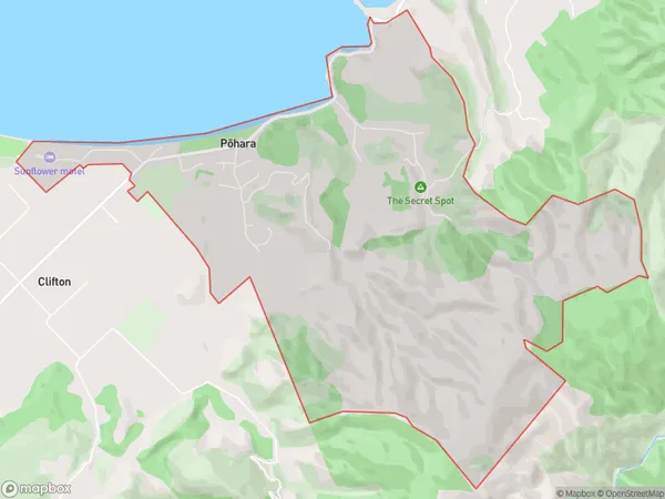
458 people live in Pohara, Tasman, NZPohara Suburb Area Map (Polygon)
Pohara Introduction
Pohara is a small coastal town in the Golden Bay region of New Zealand's South Island. It is known for its beautiful beaches, historic lighthouse, and relaxed atmosphere. The town is surrounded by stunning natural scenery, including the Pohara Beach, the Takaka Hill, and the Tasman National Park. Pohara is a popular destination for tourists and locals alike, with many activities to enjoy, including surfing, hiking, fishing, and kayaking.Region
Major City
Suburb Name
Pohara (Maori Name: Pōhara)Other Name(s)
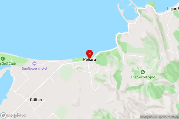
TarakohePohara Area Map (Street)
Local Authority
Tasman DistrictFull Address
Pohara, Tasman District, New ZealandAddress Type
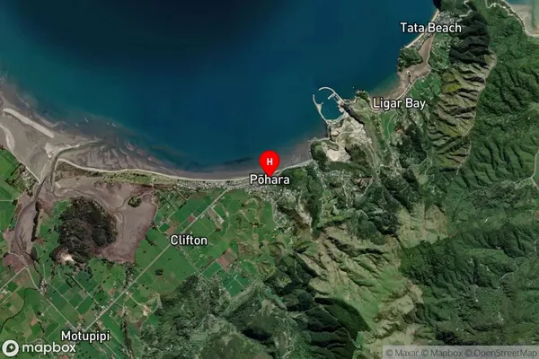
Locality in Town TakakaPohara Suburb Map (Satellite)
Country
Main Region in AU
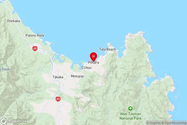
TasmanPohara Region Map
Coordinates
-40.8333822,172.8847131 (latitude/longitude)Distances
The distance from Pohara, Takaka, Tasman District to NZ Top 10 Cities