Patons Rock Suburbs & Region, Patons Rock Map & Postcodes in Patons Rock, Tasman, Nelson & Bays
Patons Rock Postcodes, Patons Rock ZipCodes, Patons Rock , Patons Rock Tasman, Patons Rock Suburbs, Patons Rock Region, Patons Rock Map, Patons Rock Area
Patons Rock Region
Patons Rock Suburbs
Patons Rock is a suburb place type in Tasman, Nelson & Bays, NZ. It contains 0 suburbs or localities.Patons Rock district
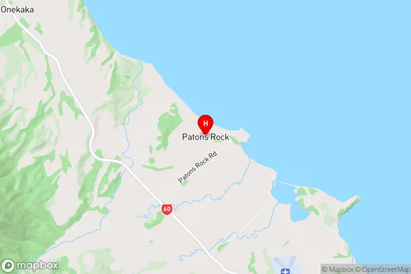
TasmanPatons Rock Region Map
Patons Rock Introduction
Patons Rock is a conspicuous rock located on the western side of Tasman Bay, about 20 km south of Nelson, New Zealand. It is a popular climbing destination and is known for its stunning views of the surrounding area, including the Abel Tasman National Park and the Tasman Sea. The rock is named after the Patons, a family of early European settlers who lived in the area in the 18th century. The rock is approximately 150 meters high and has a steep slope, making it a challenging climb. However, the views from the top are well worth the effort, and many climbers return year after year to enjoy the experience.Patons Rock Region
Patons Rock City
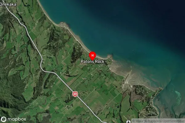
Patons Rock Satellite Map
Full Address
Patons Rock, Tasman, Nelson & BaysPatons Rock Coordinates
-40.78833,172.755448 (Latitude / Longitude)Patons Rock Map in NZ
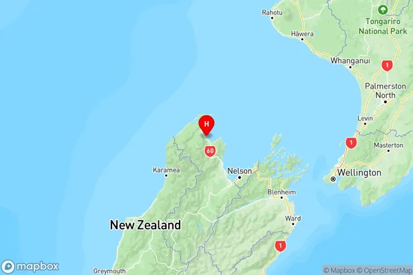
NZ Island
South IslandCountry
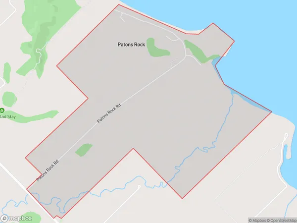
Patons Rock Area Map (Polygon)
Name
Patons RockAdditional Name
Local Authority
Tasman District
Patons Rock Suburbs (Sort by Population)
Patons Rock suburb has around
2.9 square
kilometers.There are more than 133 people (estimated)
live in Patons Rock, Takaka, Tasman, New Zealand.