Patons Rock Area, Patons Rock Postcode & Map in Patons Rock
Patons Rock Area, Patons Rock Postcode & Map in Patons Rock, Tasman District, New Zealand
Patons Rock, Tasman District, New Zealand
Patons Rock Area (estimated)
2.9 square kilometersPatons Rock Population (estimated)
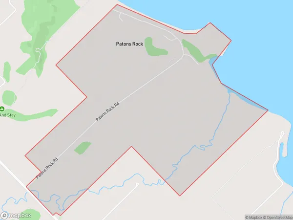
133 people live in Patons Rock, Tasman, NZPatons Rock Suburb Area Map (Polygon)
Patons Rock Introduction
Patons Rock is a rock formation located in Takaka, Tasman, New Zealand. It is known for its distinctive shape and is a popular tourist attraction. The rock formation is about 30 meters high and is composed of basalt rock. It is believed to have formed over millions of years due to volcanic activity in the area. Visitors can walk to the top of the rock for panoramic views of the surrounding area.Region
Major City
Suburb Name
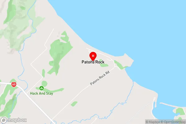
Patons RockPatons Rock Area Map (Street)
Local Authority
Tasman DistrictFull Address
Patons Rock, Tasman District, New ZealandAddress Type
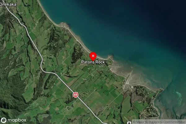
Locality in Town TakakaPatons Rock Suburb Map (Satellite)
Country
Main Region in AU
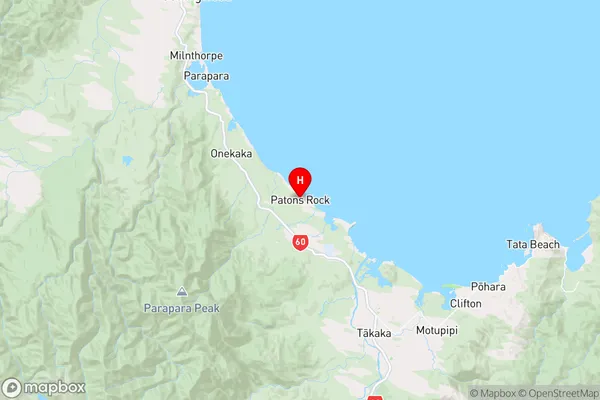
TasmanPatons Rock Region Map
Coordinates
-40.7883296,172.7554477 (latitude/longitude)Distances
The distance from Patons Rock, Takaka, Tasman District to NZ Top 10 Cities