Ngatimoti Suburbs & Region, Ngatimoti Map & Postcodes in Ngatimoti, Tasman, Nelson & Bays
Ngatimoti Postcodes, Ngatimoti ZipCodes, Ngatimoti , Ngatimoti Tasman, Ngatimoti Suburbs, Ngatimoti Region, Ngatimoti Map, Ngatimoti Area
Ngatimoti Region (Pangatotara, Pokororo Region)
Ngatimoti Suburbs
Ngatimoti is a suburb place type in Tasman, Nelson & Bays, NZ. It contains 0 suburbs or localities.Ngatimoti Postcodes
Ngatimoti district
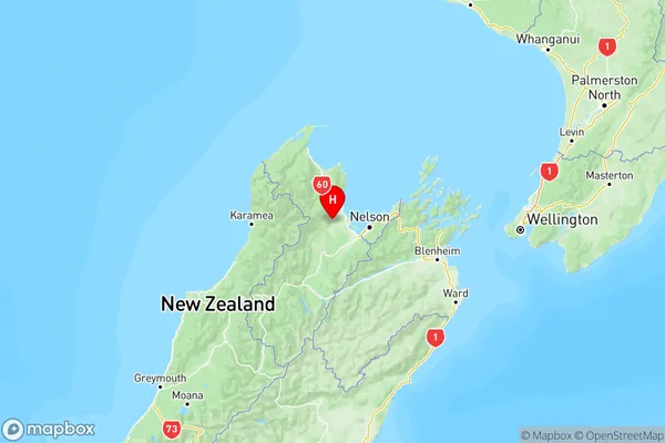
TasmanNgatimoti Region Map

Ngatimoti Introduction
Ngatimoti is a small settlement in the Tasman District of New Zealand's South Island. It is located on State Highway 6, approximately 20 kilometers south of Richmond and 120 kilometers north of Nelson. The settlement is surrounded by scenic countryside and is popular with tourists and outdoor enthusiasts. Ngatimoti has a post office, a small supermarket, and a few cafes and restaurants. The area is known for its hiking and mountain biking trails, and there are several nearby lakes and rivers for fishing and swimming. The Ngatimoti River flows through the settlement, and there are several opportunities for trout fishing. The community has a strong Maori heritage, and there are several historic sites in the area, including the Ngatimoti Pa, a former Maori fortification.Ngatimoti Region
Ngatimoti City
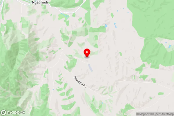
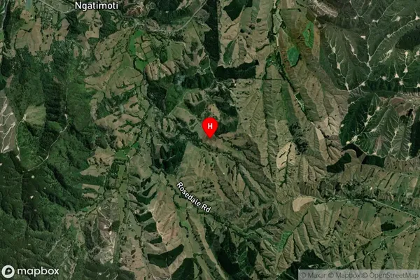
Ngatimoti Satellite Map

Full Address
Ngatimoti, Tasman, Nelson & BaysNgatimoti Coordinates
-41.22675,172.915433 (Latitude / Longitude)Ngatimoti Map in NZ

NZ Island
South IslandCountry
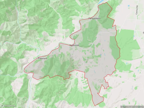
Ngatimoti Area Map (Polygon)

Name
NgatimotiAdditional Name
Pangatotara, PokororoLocal Authority
Tasman District
Ngatimoti Suburbs (Sort by Population)
Ngatimoti also known as Pangatotara, Pokororo. Ngatimoti suburb has around
72.0 square
kilometers.There are more than 559 people (estimated)
live in Ngatimoti, Motueka, Tasman, New Zealand.