Ngatimoti Area, Ngatimoti Postcode(7196) & Map in Ngatimoti
Ngatimoti Area, Ngatimoti Postcode(7196) & Map in Ngatimoti, Tasman District, New Zealand
Ngatimoti, Tasman District, New Zealand
Ngatimoti Postcodes
Ngatimoti Area (estimated)
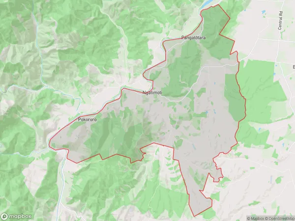
72.0 square kilometersNgatimoti Population (estimated)
559 people live in Ngatimoti, Tasman, NZNgatimoti Suburb Area Map (Polygon)
Ngatimoti Introduction
Ngatimoti is a small rural community located in the Motueka Valley of Tasman District, New Zealand. It is situated on the banks of the Motueka River, approximately 20 kilometers from the town of Motueka. The area is known for its scenic beauty, including lush green forests, waterfalls, and a variety of wildlife. Ngatimoti has a population of around 200 people and is home to a primary school, a post office, and a small supermarket. The community is a popular destination for outdoor enthusiasts, with many hiking and cycling trails nearby.Region
Major City
Suburb Name
Ngatimoti (Maori Name: Ngātīmoti)Other Name(s)
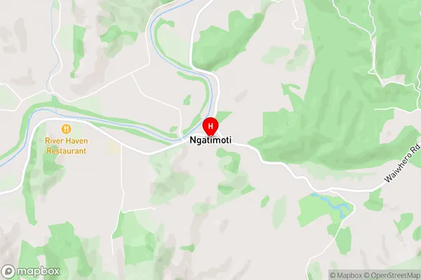
Pangatotara, PokororoNgatimoti Area Map (Street)
Local Authority
Tasman DistrictFull Address
Ngatimoti, Tasman District, New ZealandAddress Type
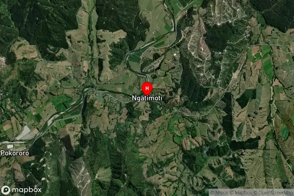
Locality in Town MotuekaNgatimoti Suburb Map (Satellite)
Country
Main Region in AU
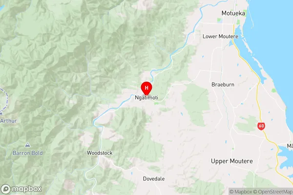
TasmanNgatimoti Region Map
Coordinates
-41.2019388,172.8875763 (latitude/longitude)Distances
The distance from Ngatimoti, Motueka, Tasman District to NZ Top 10 Cities