Atapo Suburbs & Region, Atapo Map & Postcodes in Atapo, Tasman, Nelson & Bays
Atapo Postcodes, Atapo ZipCodes, Atapo , Atapo Tasman, Atapo Suburbs, Atapo Region, Atapo Map, Atapo Area
Atapo Region
Atapo Suburbs
Atapo is a suburb place type in Tasman, Nelson & Bays, NZ. It contains 0 suburbs or localities.Atapo district
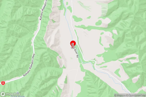
TasmanAtapo Region Map
Atapo Introduction
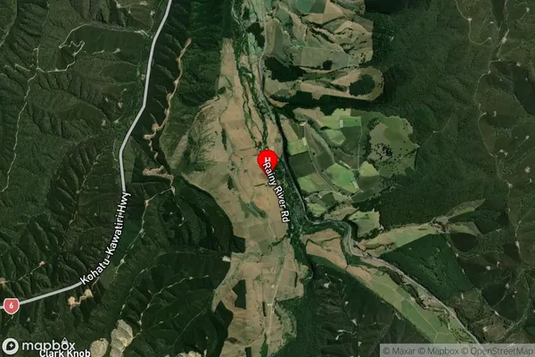
Atapo is a small rural community located in the Tasman District of New Zealand's South Island. It is situated on the banks of the Atapo River, approximately 30 kilometers south of Nelson. The community has a population of around 100 people and is known for its scenic surroundings, including the nearby Nelson Lakes National Park. The area is popular with outdoor enthusiasts, with opportunities for hiking, fishing, and hunting. There is also a small primary school and a community hall in Atapo. The community is surrounded by farmland and forested hills, and the nearby mountains provide a stunning backdrop.Atapo Region
Atapo Satellite Map
Full Address
Atapo, Tasman, Nelson & BaysAtapo Coordinates
-41.606083,172.786976 (Latitude / Longitude)Atapo Map in NZ
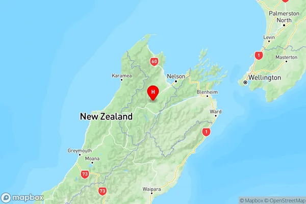
NZ Island
South IslandCountry
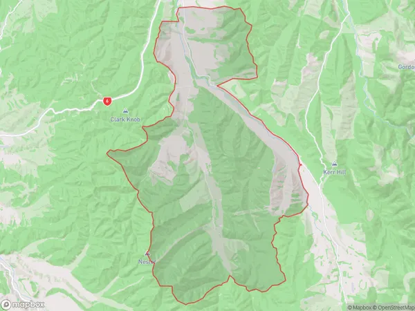
Atapo Area Map (Polygon)
Name
AtapoAdditional Name
Local Authority
Tasman District
Atapo Suburbs (Sort by Population)
Atapo suburb has around
116.8 square
kilometers.There are more than 45 people (estimated)
live in Atapo, Saint Arnaud, Tasman, New Zealand.