Atapo Area, Atapo Postcode & Map in Atapo
Atapo Area, Atapo Postcode & Map in Atapo, Tasman District, New Zealand
Atapo, Tasman District, New Zealand
Atapo Area (estimated)
116.8 square kilometersAtapo Population (estimated)
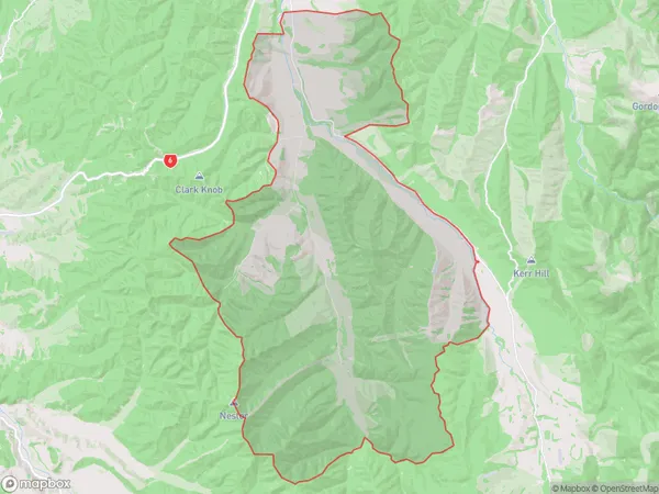
45 people live in Atapo, Tasman, NZAtapo Suburb Area Map (Polygon)
Atapo Introduction
Atapo is a small rural community in St. Arnaud, Tasman, New Zealand. It is located on the banks of the Atapo River and is surrounded by stunning natural scenery. The community has a population of around 200 people and is known for its friendly community spirit and traditional Maori culture. The area is popular with outdoor enthusiasts, with many opportunities for hiking, fishing, and hunting. The nearby St. Arnaud Forest Park is a popular destination for nature lovers, with its diverse range of plant and animal species.Region
0Suburb Name
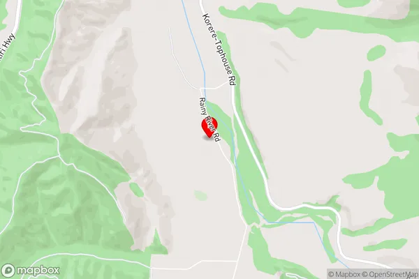
AtapoAtapo Area Map (Street)
Local Authority
Tasman DistrictFull Address
Atapo, Tasman District, New ZealandAddress Type
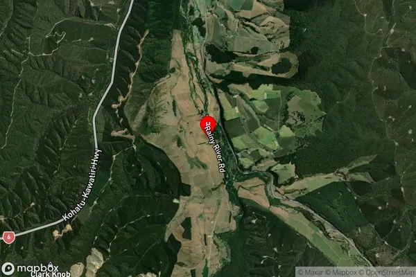
Locality in Major Locality St. ArnaudAtapo Suburb Map (Satellite)
Country
Main Region in AU
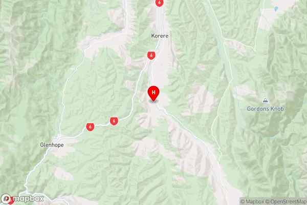
TasmanAtapo Region Map
Coordinates
-41.6060835,172.7869764 (latitude/longitude)Distances
The distance from Atapo, St. Arnaud, Tasman District to NZ Top 10 Cities