Tamaterau Suburbs & Region, Tamaterau Map & Postcodes in Tamaterau, Whangarei, Northland
Tamaterau Postcodes, Tamaterau ZipCodes, Tamaterau , Tamaterau Northland, Tamaterau Suburbs, Tamaterau Region, Tamaterau Map, Tamaterau Area
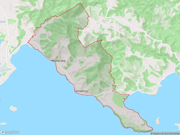
Tamaterau Region (Waikaraka Region)
Tamaterau Suburbs
Tamaterau is a suburb place type in Whangarei, Northland, NZ. It contains 0 suburbs or localities.Tamaterau Region Map
Tamaterau Introduction
Tamaterau is a small township in Northland, New Zealand, located on the eastern coast of the Bay of Islands. It is known for its beautiful beaches, lush forests, and stunning natural scenery. The town has a population of around 1,000 people and is a popular destination for tourists and outdoor enthusiasts. Tamaterau is also home to a number of important historical sites, including the Tamaterau Marae, which is a significant meeting place for the local Maori community. The town is surrounded by a number of scenic walks and hiking trails, and is a popular spot for fishing, kayaking, and snorkeling.Tamaterau Region
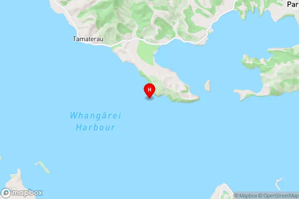
Tamaterau City
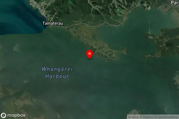
Tamaterau Satellite Map
Full Address
Tamaterau, Whangarei, NorthlandTamaterau Coordinates
-35.794856,174.42843 (Latitude / Longitude)Tamaterau Map in NZ
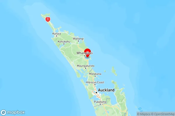
NZ Island
North IslandCountry
Tamaterau Area Map (Polygon)
Name
TamaterauAdditional Name
WaikarakaLocal Authority
Whangarei District
Tamaterau Suburbs (Sort by Population)
Tamaterau also known as Waikaraka. Tamaterau suburb has around
14.3 square
kilometers.There are more than 1079 people (estimated)
live in Tamaterau, Whangārei, Northland, New Zealand.