Tamaterau Area, Tamaterau Postcode & Map in Tamaterau
Tamaterau Area, Tamaterau Postcode & Map in Tamaterau, Whangarei District, New Zealand
Tamaterau, Whangarei District, New Zealand
Tamaterau Area (estimated)
14.3 square kilometersTamaterau Population (estimated)
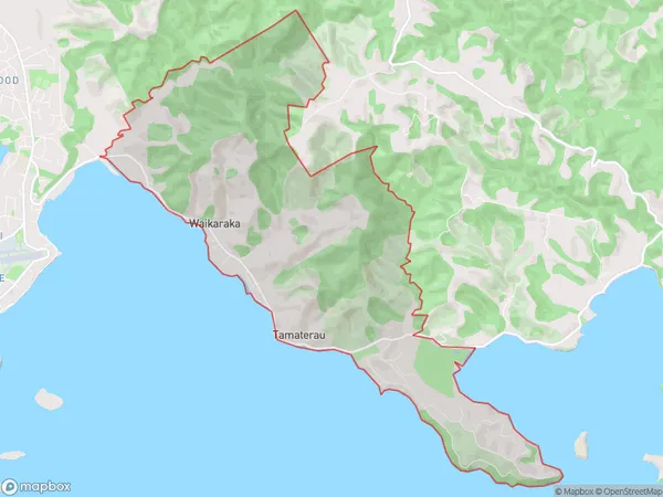
1079 people live in Tamaterau, Whangārei, NZTamaterau Suburb Area Map (Polygon)
Tamaterau Introduction
Tamaterau is a small rural community in Northland, New Zealand. It is located on State Highway 12, approximately 30 kilometers south of Whangarei. The community has a population of around 100 people and is known for its scenic views and peaceful atmosphere. Tamaterau also has a primary school and a small community hall. The area is popular with outdoor enthusiasts, who enjoy hiking, fishing, and hunting in the surrounding forests and rivers.Region
Major City
Suburb Name
TamaterauOther Name(s)
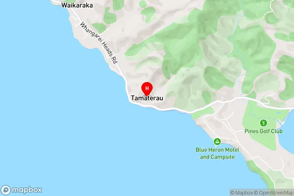
WaikarakaTamaterau Area Map (Street)
Local Authority
Whangarei DistrictFull Address
Tamaterau, Whangarei District, New ZealandAddress Type
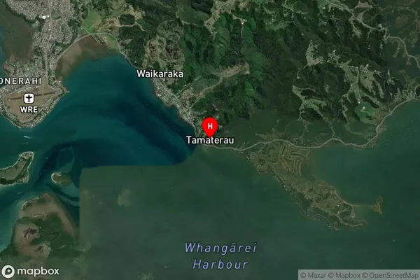
Locality in City WhangareiTamaterau Suburb Map (Satellite)
Country
Main Region in AU
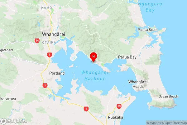
NorthlandTamaterau Region Map
Coordinates
-35.7778847,174.4072316 (latitude/longitude)Distances
The distance from Tamaterau, Whangarei, Whangarei District to NZ Top 10 Cities