Raumanga Suburbs & Region, Raumanga Map & Postcodes in Raumanga, Whangarei, Northland
Raumanga Postcodes, Raumanga ZipCodes, Raumanga , Raumanga Northland, Raumanga Suburbs, Raumanga Region, Raumanga Map, Raumanga Area
Raumanga Region
Raumanga Suburbs
Raumanga is a suburb place type in Whangarei, Northland, NZ. It contains 0 suburbs or localities.Raumanga Postcodes
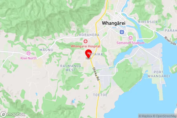
Raumanga Region Map
Raumanga Introduction
Raumanga is a small township on the Bay of Islands in Northland, New Zealand. It is known for its beautiful beaches, clear waters, and relaxed atmosphere. The town has a population of around 1,000 people and is a popular destination for tourists and locals alike. Raumanga also has a rich history, with several historic buildings and sites located throughout the town. The town is surrounded by stunning natural scenery, including mountains, forests, and waterfalls, and is a popular spot for hiking, fishing, and kayaking.Raumanga Region
Raumanga City
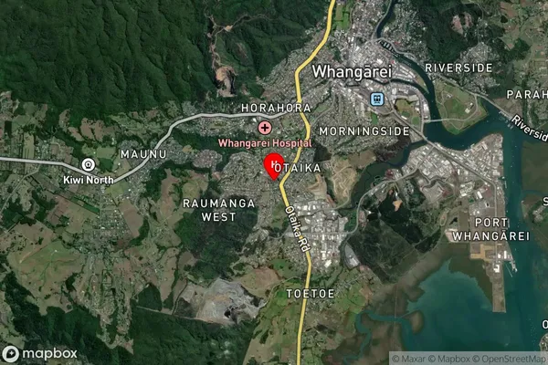
Raumanga Satellite Map
Full Address
Raumanga, Whangarei, NorthlandRaumanga Coordinates
-35.744474,174.304782 (Latitude / Longitude)Raumanga Map in NZ
NZ Island
North IslandCountry
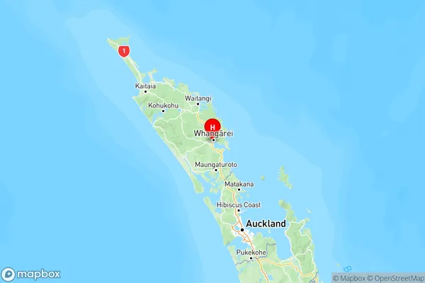
Raumanga Area Map (Polygon)

Name
RaumangaAdditional Name
Local Authority
Whangarei District
Raumanga Suburbs (Sort by Population)
Raumanga suburb has around
8.6 square
kilometers.There are more than 5960 people (estimated)
live in Raumanga, Whangārei, Northland, New Zealand.