Raumanga Area, Raumanga Postcode(0101) & Map in Raumanga
Raumanga Area, Raumanga Postcode(0101) & Map in Raumanga, Whangarei District, New Zealand
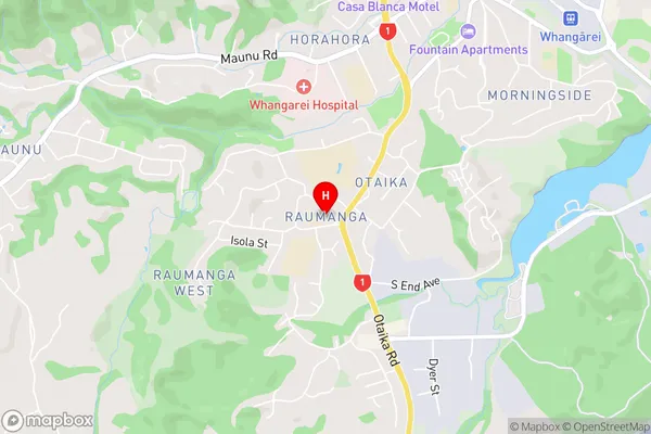
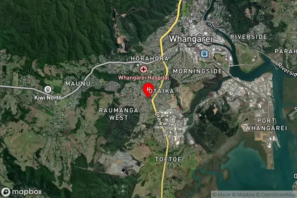
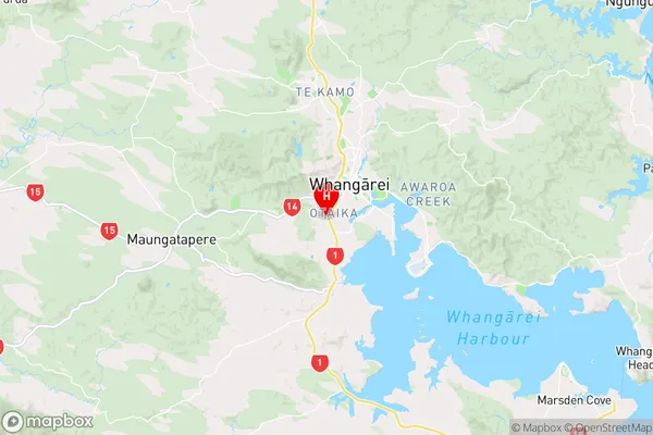
Raumanga, Whangarei District, New Zealand
Raumanga Area (estimated)
8.6 square kilometersRaumanga Population (estimated)
5960 people live in Raumanga, Whangārei, NZRaumanga Suburb Area Map (Polygon)

Raumanga Introduction
Raumanga is a small rural community in Northland, New Zealand, located on State Highway 12 and the banks of the Raumanga River. It is known for its scenic surroundings, including the Raumanga Forest Park and the Raumanga Mountain Range. The community has a primary school, a post office, and a small supermarket. Raumanga is a popular destination for outdoor activities such as hiking, fishing, and hunting, and is surrounded by beautiful natural landscapes.Region
Major City
Suburb Name
RaumangaRaumanga Area Map (Street)
Local Authority
Whangarei DistrictFull Address
Raumanga, Whangarei District, New ZealandAddress Type
Suburb in City WhangareiRaumanga Suburb Map (Satellite)
Country
Main Region in AU
NorthlandRaumanga Region Map
Coordinates
-35.7444744,174.3047816 (latitude/longitude)Distances
The distance from Raumanga, Whangarei, Whangarei District to NZ Top 10 Cities