Poroti Suburbs & Region, Poroti Map & Postcodes in Poroti, Whangarei, Northland
Poroti Postcodes, Poroti ZipCodes, Poroti , Poroti Northland, Poroti Suburbs, Poroti Region, Poroti Map, Poroti Area
Poroti Region (Ruatangata, Wharekohe Region)
Poroti Suburbs
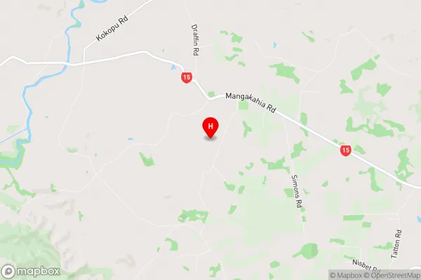
Poroti is a suburb place type in Whangarei, Northland, NZ. It contains 0 suburbs or localities.Poroti Region Map
Poroti Introduction
Poroti is a small town in Northland, New Zealand, with a population of around 1,000 people. It is situated on the banks of the Poroti River and is known for its scenic surroundings and outdoor activities such as hiking, fishing, and hunting. The town has a primary school, a post office, a supermarket, and a few cafes and restaurants. It is also home to the Poroti Rock, a large basaltic outcrop that is a popular climbing destination. Poroti is located about 120 kilometers north of Whangarei and 30 kilometers south of Kaitaia.Poroti Region
Poroti City
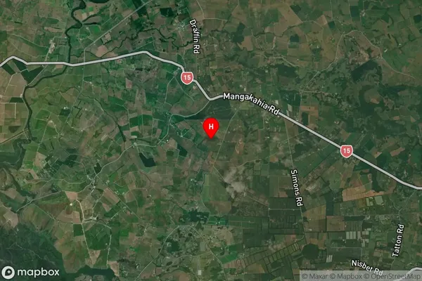
Poroti Satellite Map
Full Address
Poroti, Whangarei, NorthlandPoroti Coordinates
-35.746388,174.128917 (Latitude / Longitude)Poroti Map in NZ
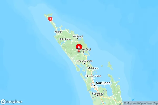
NZ Island
North IslandCountry
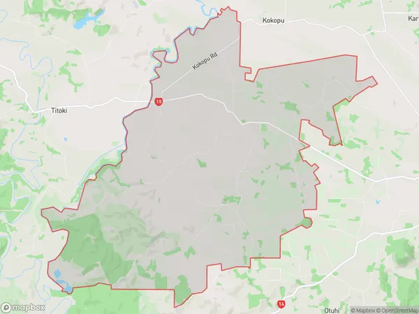
Poroti Area Map (Polygon)
Name
PorotiAdditional Name
Ruatangata, WharekoheLocal Authority
Whangarei District
Poroti Suburbs (Sort by Population)
Poroti also known as Ruatangata, Wharekohe. Poroti suburb has around
70.4 square
kilometers.There are more than 898 people (estimated)
live in Poroti, Whangarei, Northland, New Zealand.