Poroti Area, Poroti Postcode & Map in Poroti
Poroti Area, Poroti Postcode & Map in Poroti, Whangarei District, New Zealand
Poroti, Whangarei District, New Zealand
Poroti Area (estimated)
70.4 square kilometersPoroti Population (estimated)
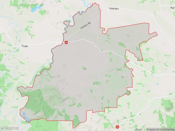
898 people live in Poroti, Northland, NZPoroti Suburb Area Map (Polygon)
Poroti Introduction
Poroti is a small town in Northland, New Zealand, with a population of around 1,200 people. It is located on State Highway 12 and is known for its scenic surroundings, including the Poroti Mountains and the Poroti Forest. The town has a primary school, a post office, a supermarket, and a variety of recreational facilities, including a golf course and a swimming pool.Region
Major City
Suburb Name
PorotiOther Name(s)
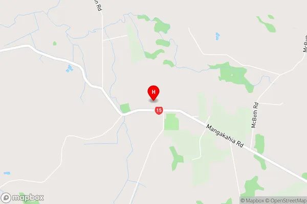
Ruatangata, WharekohePoroti Area Map (Street)
Local Authority
Whangarei DistrictFull Address
Poroti, Whangarei District, New ZealandAddress Type
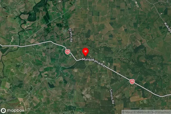
Locality in City WhangareiPoroti Suburb Map (Satellite)
Country
Main Region in AU
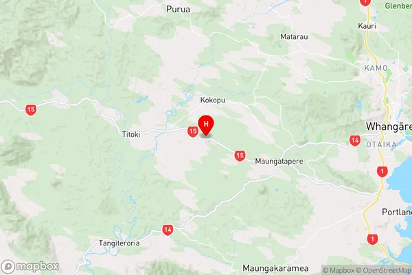
NorthlandPoroti Region Map
Coordinates
-35.736498,174.1339338 (latitude/longitude)Distances
The distance from Poroti, Whangarei, Whangarei District to NZ Top 10 Cities