Parahaki Suburbs & Region, Parahaki Map & Postcodes in Parahaki, Whangarei, Northland
Parahaki Postcodes, Parahaki ZipCodes, Parahaki , Parahaki Northland, Parahaki Suburbs, Parahaki Region, Parahaki Map, Parahaki Area
Parahaki Region (Mairtown, Parihaka, Whangarei Central Region)
Parahaki Suburbs
Parahaki is a suburb place type in Whangarei, Northland, NZ. It contains 0 suburbs or localities.Parahaki Postcodes
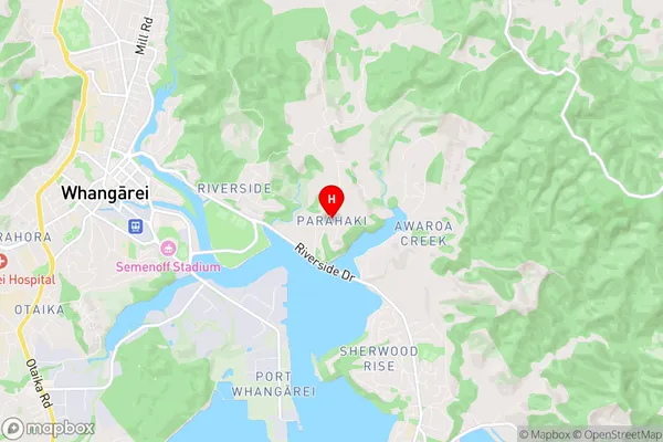
Parahaki Region Map
Parahaki Introduction
Parahaki is a small town in Northland, New Zealand. It is located on State Highway 12 and is about 120 km north of Whangarei. The town has a population of around 100 people and is known for its scenic views and relaxed atmosphere. The town has a primary school, a post office, and a small supermarket. The surrounding area is popular for outdoor activities such as hiking, fishing, and hunting.Parahaki Region
Parahaki City
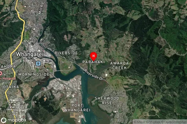
Parahaki Satellite Map
Full Address
Parahaki, Whangarei, NorthlandParahaki Coordinates
-35.731061,174.354598 (Latitude / Longitude)Parahaki Map in NZ
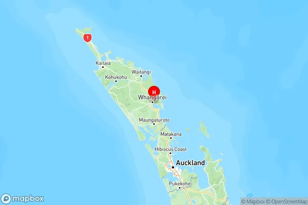
NZ Island
North IslandCountry
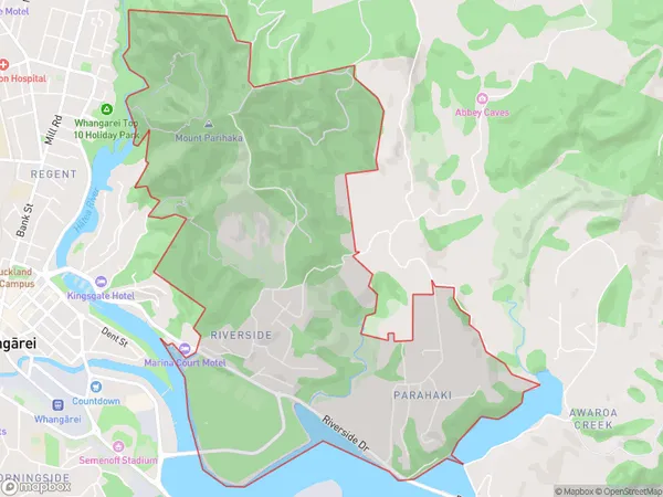
Parahaki Area Map (Polygon)
Name
ParahakiAdditional Name
Mairtown, Parihaka, Whangarei CentralLocal Authority
Whangarei District
Parahaki Suburbs (Sort by Population)
Parahaki also known as Mairtown, Parihaka, Whangarei Central. Parahaki suburb has around
7.0 square
kilometers.There are more than 1571 people (estimated)
live in Parahaki, Whangārei, Northland, New Zealand.