Parahaki Area, Parahaki Postcode(0110) & Map in Parahaki
Parahaki Area, Parahaki Postcode(0110) & Map in Parahaki, Whangarei District, New Zealand
Parahaki, Whangarei District, New Zealand
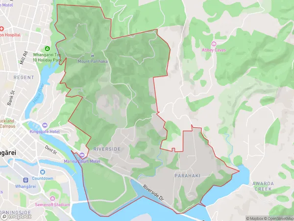
Parahaki Area (estimated)
7.0 square kilometersParahaki Population (estimated)
1571 people live in Parahaki, Whangārei, NZParahaki Suburb Area Map (Polygon)
Parahaki Introduction
Parahaki is a small rural community in Northland, New Zealand, located on State Highway 12 and the banks of the Wangarei River. It is known for its scenic beauty, with lush green fields and towering trees. The community has a population of around 200 people and is home to a primary school, a church, and a small convenience store.Region
Major City
Suburb Name
ParahakiOther Name(s)
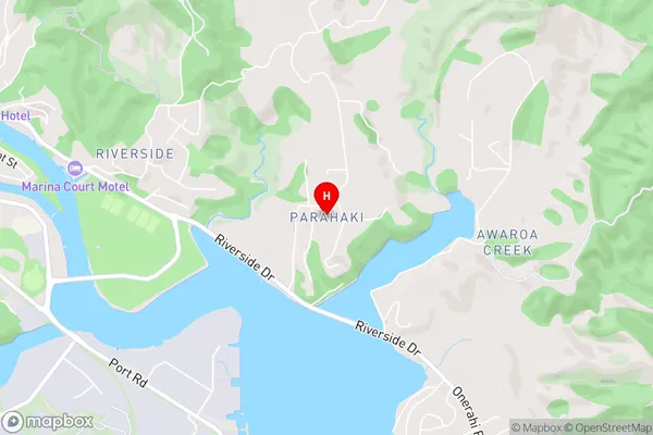
Mairtown, Parihaka, Whangarei CentralParahaki Area Map (Street)
Local Authority
Whangarei DistrictFull Address
Parahaki, Whangarei District, New ZealandAddress Type
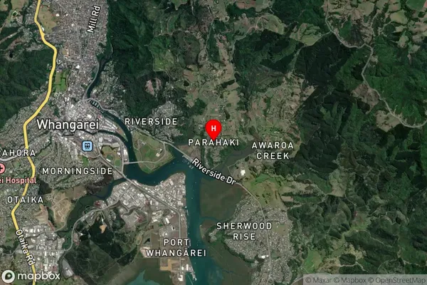
Suburb in City WhangareiParahaki Suburb Map (Satellite)
Country
Main Region in AU
NorthlandParahaki Region Map
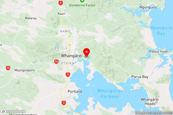
Coordinates
-35.7310607,174.3545982 (latitude/longitude)Distances
The distance from Parahaki, Whangarei, Whangarei District to NZ Top 10 Cities