Otangarei Suburbs & Region, Otangarei Map & Postcodes in Otangarei, Whangarei, Northland
Otangarei Postcodes, Otangarei ZipCodes, Otangarei , Otangarei Northland, Otangarei Suburbs, Otangarei Region, Otangarei Map, Otangarei Area
Otangarei Region (Mairtown Region)
Otangarei Suburbs
Otangarei is a suburb place type in Whangarei, Northland, NZ. It contains 0 suburbs or localities.Otangarei Region Map
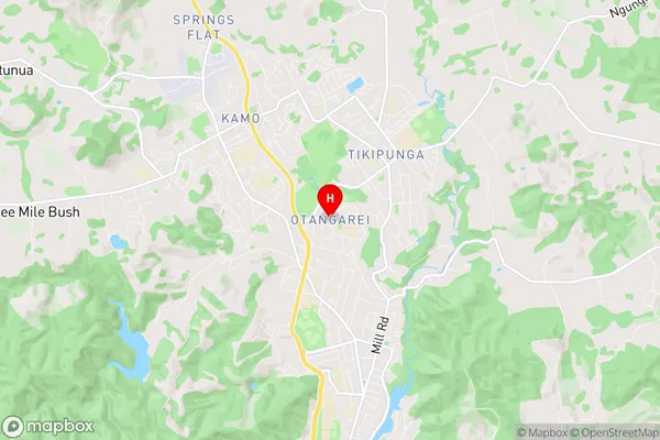
Otangarei Introduction
Otangarei is a small town in Northland, New Zealand, located on the banks of the Otangarei River. It is known for its beautiful beaches, historic buildings, and vibrant cultural heritage. The town has a population of around 10,000 people and is a popular destination for tourists and locals alike. The town is home to a number of important historical sites, including the Otangarei Heads, which is a significant archaeological site with evidence of early Māori settlement. The town also has a number of museums and art galleries, including the Otangarei Museum, which showcases the history and culture of the region.Otangarei Region
Otangarei City
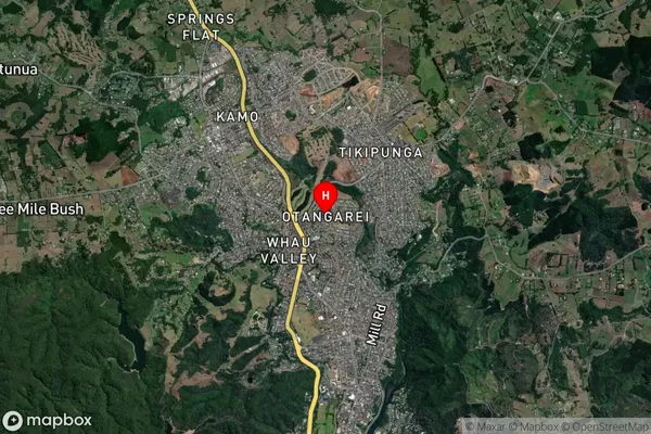
Otangarei Satellite Map
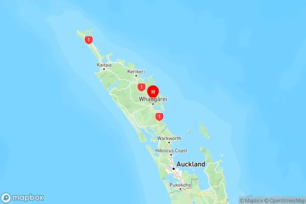
Full Address
Otangarei, Whangarei, NorthlandOtangarei Coordinates
-35.693118,174.317664 (Latitude / Longitude)Otangarei Map in NZ
NZ Island
North IslandCountry
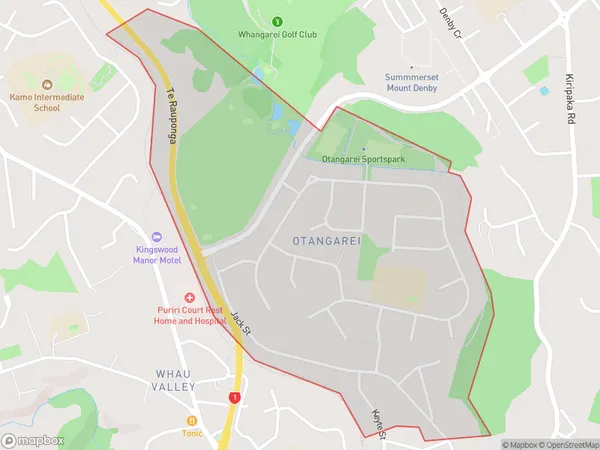
Otangarei Area Map (Polygon)
Name
OtangareiAdditional Name
MairtownLocal Authority
Whangarei District
Otangarei Suburbs (Sort by Population)
Otangarei also known as Mairtown. Otangarei suburb has around
1.3 square
kilometers.There are more than 2217 people (estimated)
live in Otangarei, Whangārei, Northland, New Zealand.