Otangarei Area, Otangarei Postcode(0112) & Map in Otangarei
Otangarei Area, Otangarei Postcode(0112) & Map in Otangarei, Whangarei District, New Zealand
Otangarei, Whangarei District, New Zealand
Otangarei Area (estimated)
1.3 square kilometersOtangarei Population (estimated)
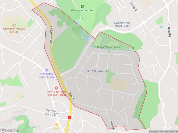
2217 people live in Otangarei, Whangārei, NZOtangarei Suburb Area Map (Polygon)
Otangarei Introduction
Otangarei is a small town in Northland, New Zealand, with a population of around 10,000 people. It is known for its beautiful beaches, historic buildings, and vibrant cultural heritage. The town is located on the banks of the Otangarei River and is surrounded by stunning natural scenery, including mountains, forests, and waterfalls. It is a popular destination for tourists and outdoor enthusiasts, with many activities to enjoy, such as hiking, fishing, kayaking, and surfing.Region
Major City
Suburb Name
OtangareiOther Name(s)
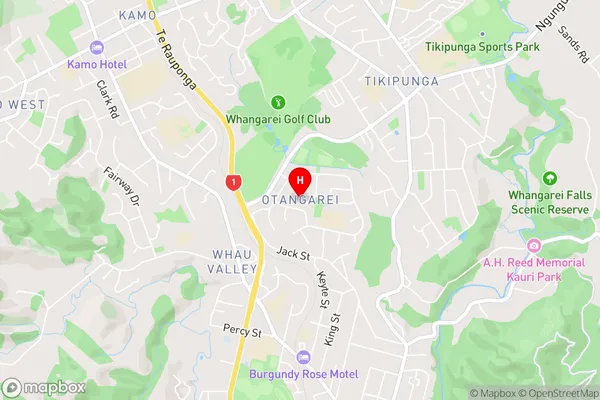
MairtownOtangarei Area Map (Street)
Local Authority
Whangarei DistrictFull Address
Otangarei, Whangarei District, New ZealandAddress Type
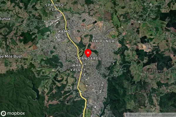
Suburb in City WhangareiOtangarei Suburb Map (Satellite)
Country
Main Region in AU
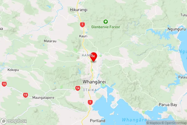
NorthlandOtangarei Region Map
Coordinates
-35.6931181,174.317664 (latitude/longitude)Distances
The distance from Otangarei, Whangarei, Whangarei District to NZ Top 10 Cities