Otaika Suburbs & Region, Otaika Map & Postcodes in Otaika, Whangarei, Northland
Otaika Postcodes, Otaika ZipCodes, Otaika , Otaika Northland, Otaika Suburbs, Otaika Region, Otaika Map, Otaika Area
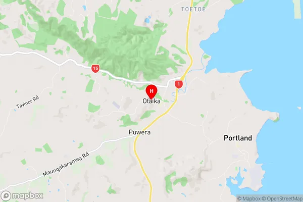
Otaika Region (Otaika Valley, Toetoe Region)
Otaika Suburbs
Otaika is a suburb place type in Whangarei, Northland, NZ. It contains 0 suburbs or localities.Otaika Postcodes
Otaika Region Map
Otaika Introduction
Otaika is a small rural community in Northland, New Zealand. It is located on State Highway 12, approximately 30 kilometers south of Kaitaia and 120 kilometers north of Whangarei. The community has a population of around 100 people and is known for its scenic surroundings, including the Otaika Gorge and the Otaika Plains. The area is also home to a number of historic buildings, including the Otaika Pa, a former meeting house and store. Otaika is a popular destination for outdoor enthusiasts, with a range of activities to enjoy, including hiking, fishing, and hunting. The community also hosts a number of events throughout the year, including the Otaika Festival, which is held in late October and features music, food, and cultural performances.Otaika Region
Otaika City
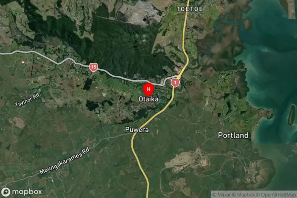
Otaika Satellite Map
Full Address
Otaika, Whangarei, NorthlandOtaika Coordinates
-35.786765,174.297345 (Latitude / Longitude)Otaika Map in NZ
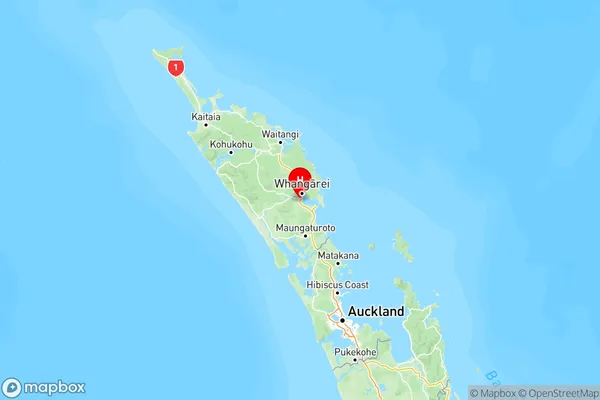
NZ Island
North IslandCountry
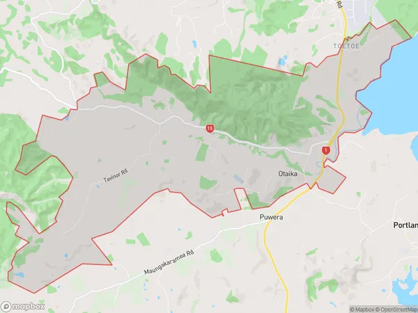
Otaika Area Map (Polygon)
Name
OtaikaAdditional Name
Otaika Valley, ToetoeLocal Authority
Whangarei District
Otaika Suburbs (Sort by Population)
Otaika also known as Otaika Valley, Toetoe. Otaika suburb has around
27.4 square
kilometers.There are more than 851 people (estimated)
live in Otaika, Whangārei, Northland, New Zealand.