Otaika Area, Otaika Postcode(0178) & Map in Otaika
Otaika Area, Otaika Postcode(0178) & Map in Otaika, Whangarei District, New Zealand
Otaika, Whangarei District, New Zealand
Otaika Area (estimated)
27.4 square kilometersOtaika Population (estimated)
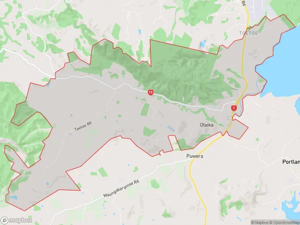
851 people live in Otaika, Whangārei, NZOtaika Suburb Area Map (Polygon)
Otaika Introduction
Otaika is a small rural community located in the Northland region of New Zealand. It is situated on the banks of the Otaika River and is known for its stunning natural scenery, including waterfalls and native forests. The community has a population of around 100 people and is home to a primary school, a post office, and a small supermarket. Otaika is a popular destination for outdoor enthusiasts, with many hiking and fishing trails in the surrounding area. The community also hosts a annual cultural festival, which attracts visitors from all over Northland.Region
Major City
Suburb Name
OtaikaOther Name(s)
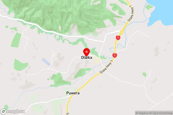
Otaika Valley, ToetoeOtaika Area Map (Street)
Local Authority
Whangarei DistrictFull Address
Otaika, Whangarei District, New ZealandAddress Type
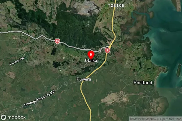
Suburb in City WhangareiOtaika Suburb Map (Satellite)
Country
Main Region in AU
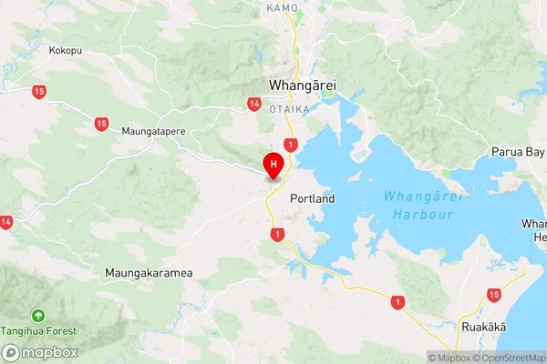
NorthlandOtaika Region Map
Coordinates
-35.7867652,174.2973447 (latitude/longitude)Distances
The distance from Otaika, Whangarei, Whangarei District to NZ Top 10 Cities