Maungatapere Suburbs & Region, Maungatapere Map & Postcodes in Maungatapere, Whangarei, Northland
Maungatapere Postcodes, Maungatapere ZipCodes, Maungatapere , Maungatapere Northland, Maungatapere Suburbs, Maungatapere Region, Maungatapere Map, Maungatapere Area
Maungatapere Region (Whatitiri Region)
Maungatapere Suburbs
Maungatapere is a suburb place type in Whangarei, Northland, NZ. It contains 0 suburbs or localities.Maungatapere Region Map
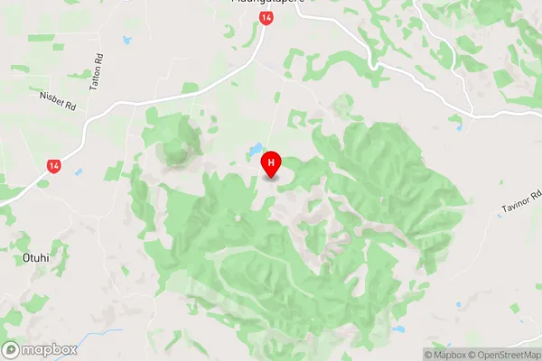
Maungatapere Introduction
Maungatapere is a small township on the eastern coast of the North Island of New Zealand. It is located in the Northland Region and is about 120 kilometers north of Whangarei. The township is situated on the banks of the Maungatapere River and has a population of around 200 people. The area is known for its scenic beauty, with rolling hills, forests, and a peaceful atmosphere. Maungatapere is a popular destination for outdoor activities such as hiking, fishing, and hunting. The township also has a community hall, a small supermarket, and a petrol station. The nearest major town is Whangarei, which is about an hour's drive away.Maungatapere Region
Maungatapere City
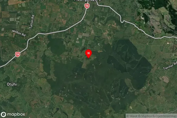
Maungatapere Satellite Map
Full Address
Maungatapere, Whangarei, NorthlandMaungatapere Coordinates
-35.783845,174.207573 (Latitude / Longitude)Maungatapere Map in NZ
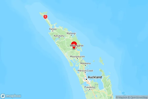
NZ Island
North IslandCountry
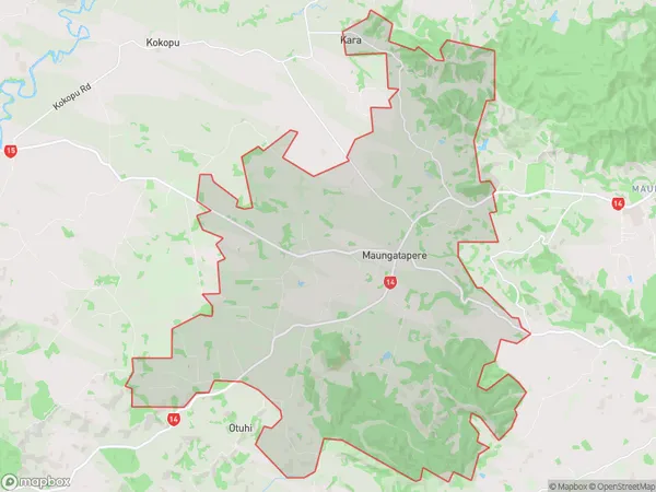
Maungatapere Area Map (Polygon)
Name
MaungatapereAdditional Name
WhatitiriLocal Authority
Whangarei District
Maungatapere Suburbs (Sort by Population)
Maungatapere also known as Whatitiri. Maungatapere suburb has around
80.1 square
kilometers.There are more than 2475 people (estimated)
live in Maungatapere, Whangarei, Northland, New Zealand.