Maungatapere Area, Maungatapere Postcode(0170) & Map in Maungatapere
Maungatapere Area, Maungatapere Postcode(0170) & Map in Maungatapere, Whangarei District, New Zealand
Maungatapere, Whangarei District, New Zealand
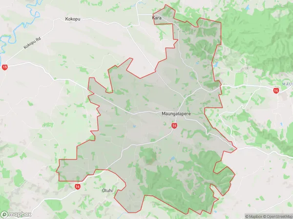
Maungatapere Area (estimated)
80.1 square kilometersMaungatapere Population (estimated)
2475 people live in Maungatapere, Northland, NZMaungatapere Suburb Area Map (Polygon)
Maungatapere Introduction
Maungatapere is a small town on the eastern coast of Northland, New Zealand. It is known for its scenic beaches, native forests, and fishing communities. The town has a population of around 2,000 people and is situated about 100 kilometers northeast of Whangarei. Maungatapere is a popular destination for tourists and has a range of accommodation options, including hotels, motels, and holiday homes. The town also has a supermarket, a pharmacy, a medical center, and a variety of cafes and restaurants.Region
Major City
Suburb Name
MaungatapereOther Name(s)
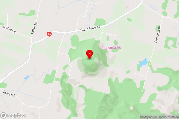
WhatitiriMaungatapere Area Map (Street)
Local Authority
Whangarei DistrictFull Address
Maungatapere, Whangarei District, New ZealandAddress Type
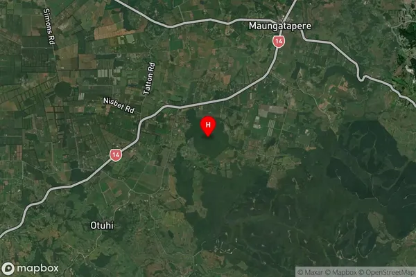
Locality in City WhangareiMaungatapere Suburb Map (Satellite)
Country
Main Region in AU
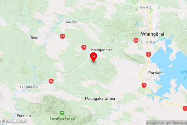
NorthlandMaungatapere Region Map
Coordinates
-35.778306,174.189167 (latitude/longitude)Distances
The distance from Maungatapere, Whangarei, Whangarei District to NZ Top 10 Cities