Opaki Suburbs & Region, Opaki Map & Postcodes in Opaki, Masterton, Wairarapa
Opaki Postcodes, Opaki ZipCodes, Opaki , Opaki Wellington, Opaki Suburbs, Opaki Region, Opaki Map, Opaki Area
Opaki Region
Opaki Suburbs
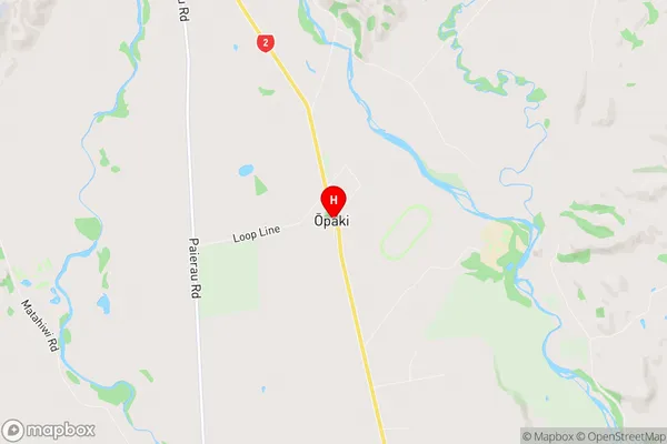
Opaki is a suburb place type in Masterton, Wairarapa, NZ. It contains 4 suburbs or localities.Opaki Region Map
Opaki Introduction
Opaki is a suburb of Wellington, New Zealand, located in the southern part of the city. It is known for its rural atmosphere, scenic views, and well-preserved historic buildings. The area was first settled in the 1840s and has since grown into a thriving community with a mix of residential and commercial properties. Opaki has a variety of amenities, including a supermarket, a library, a medical center, and several parks and recreational facilities. It is also home to the Opaki Golf Club, which is a popular destination for golfers throughout the region.Opaki Region
Opaki City
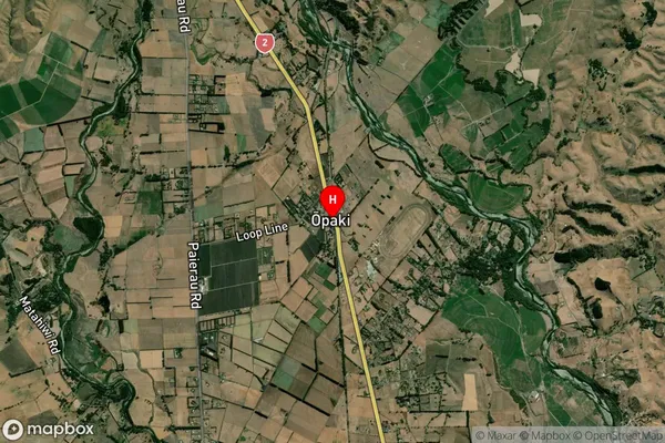
Opaki Satellite Map
Full Address
Opaki, Masterton, WairarapaOpaki Coordinates
-40.895182,175.661988 (Latitude / Longitude)Opaki Map in NZ
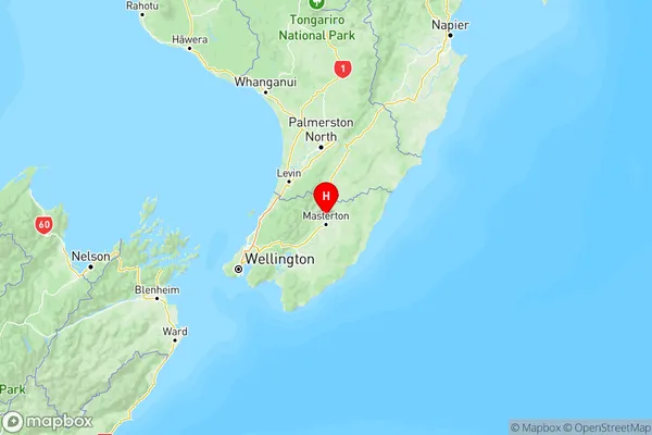
NZ Island
North IslandCountry
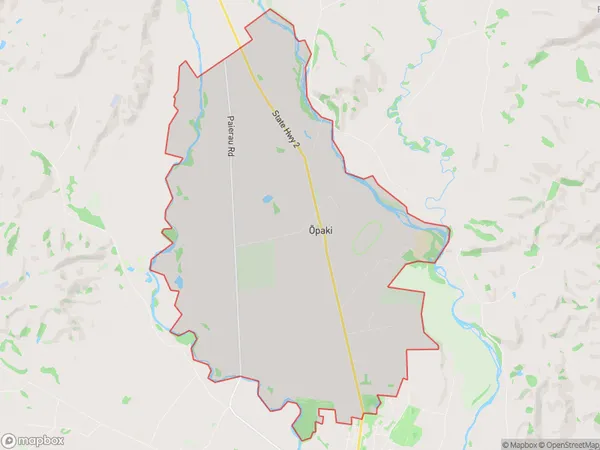
Opaki Area Map (Polygon)
Name
OpakiAdditional Name
Local Authority
Masterton District
Opaki Suburbs (Sort by Population)
Opaki
Opaki - 1041Mikimiki
Mikimiki - 144Kiriwhakapapa
Kiriwhakapapa - 83Mount Bruce
Mount Bruce - 66