Opaki Area, Opaki Postcode(5871) & Map in Opaki
Opaki Area, Opaki Postcode(5871) & Map in Opaki, Masterton District, New Zealand
Opaki, Masterton District, New Zealand
Opaki Postcodes
Opaki Area (estimated)
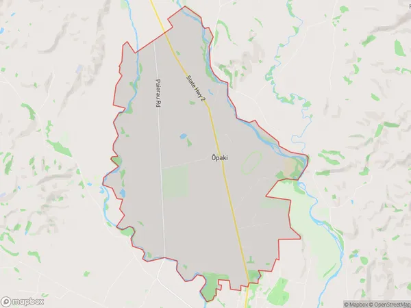
38.4 square kilometersOpaki Population (estimated)
1041 people live in Opaki, Wellington, NZOpaki Suburb Area Map (Polygon)
Opaki Introduction
Opaki is a small town located in the Wellington region of New Zealand, approximately 20 kilometers south-west of Wellington City. It is known for its historic buildings, including the Opaki Post Office and the Opaki Hotel, and for its scenic surroundings, including the Opaki River and the Waikanae Hills. The town has a population of around 1,500 people and is a popular destination for outdoor activities such as hiking, cycling, and fishing.Region
Major City
Suburb Name
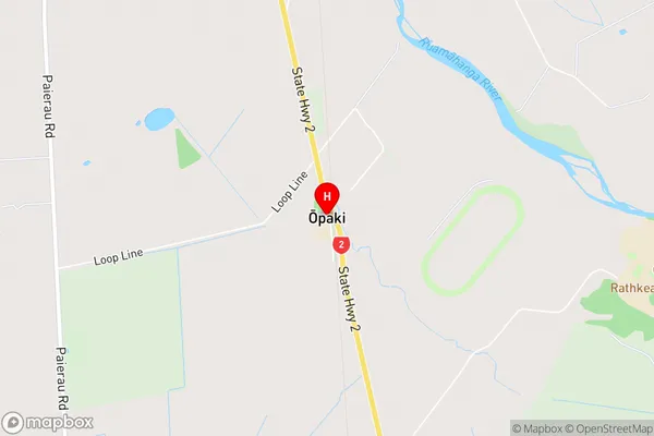
Opaki (Maori Name: Ōpaki)Opaki Area Map (Street)
Local Authority
Masterton DistrictFull Address
Opaki, Masterton District, New ZealandAddress Type
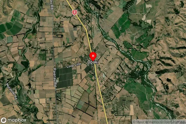
Locality in Town OpakiOpaki Suburb Map (Satellite)
Country
Main Region in AU
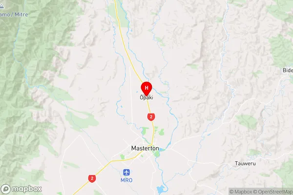
WellingtonOpaki Region Map
Coordinates
-40.8950376,175.6617129 (latitude/longitude)Distances
The distance from Opaki, Opaki, Masterton District to NZ Top 10 Cities