Kiriwhakapapa Area, Kiriwhakapapa Postcode(5810) & Map in Kiriwhakapapa
Kiriwhakapapa Area, Kiriwhakapapa Postcode(5810) & Map in Kiriwhakapapa, Masterton District, New Zealand
Kiriwhakapapa, Masterton District, New Zealand
Kiriwhakapapa Postcodes
Kiriwhakapapa Area (estimated)
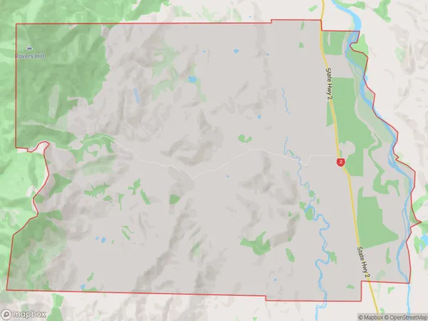
46.9 square kilometersKiriwhakapapa Population (estimated)
83 people live in Kiriwhakapapa, Wellington, NZKiriwhakapapa Suburb Area Map (Polygon)
Kiriwhakapapa Introduction
Kiriwhakapapa, also known as the Tawhiti Peak, is a volcanic cone located in the Wellington region of New Zealand. It is a popular hiking destination and is part of the Tongariro National Park. The cone rises to an elevation of 2,797 meters and is the largest active volcano in the North Island. It is known for its stunning views of the surrounding landscape, including the Taranaki Mountains and the Pacific Ocean.Region
Major City
Suburb Name
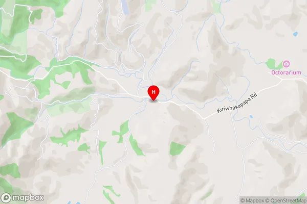
KiriwhakapapaKiriwhakapapa Area Map (Street)
Local Authority
Masterton DistrictFull Address
Kiriwhakapapa, Masterton District, New ZealandAddress Type
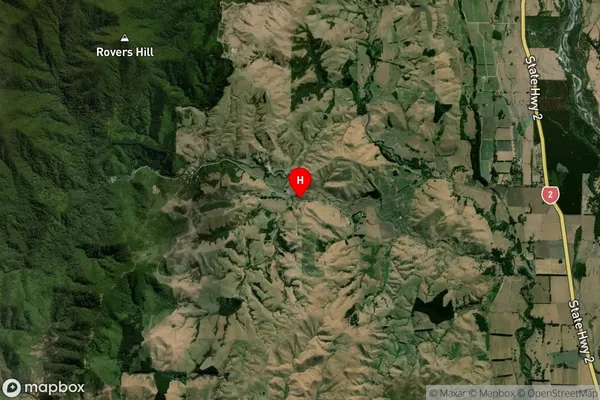
Locality in Town OpakiKiriwhakapapa Suburb Map (Satellite)
Country
Main Region in AU
WellingtonKiriwhakapapa Region Map

Coordinates
-40.8109832,175.5779386 (latitude/longitude)Distances
The distance from Kiriwhakapapa, Opaki, Masterton District to NZ Top 10 Cities