Langs Beach Suburbs & Region, Langs Beach Map & Postcodes in Langs Beach, Whangarei, Northland
Langs Beach Postcodes, Langs Beach ZipCodes, Langs Beach , Langs Beach Northland, Langs Beach Suburbs, Langs Beach Region, Langs Beach Map, Langs Beach Area
Langs Beach Region
Langs Beach Suburbs
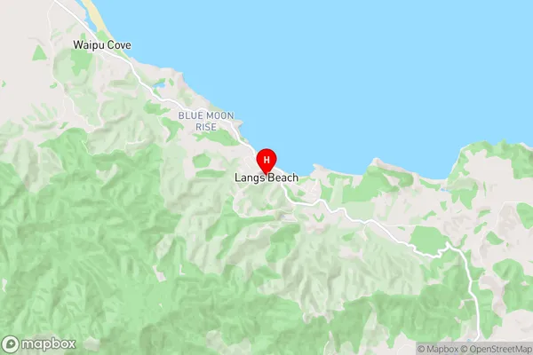
Langs Beach is a suburb place type in Whangarei, Northland, NZ. It contains 0 suburbs or localities.Langs Beach Region Map
Langs Beach Introduction
Langs Beach is a picturesque sandy beach located in the Bay of Islands, Northland, New Zealand. It is known for its clear waters, stunning sunsets, and peaceful atmosphere, making it a popular destination for tourists and locals alike. The beach is surrounded by lush green forests and offers a range of activities such as swimming, snorkeling, and hiking. There are also several accommodation options nearby, including resorts and holiday homes. Langs Beach is a must-visit location in Northland and offers a perfect escape from the hustle and bustle of city life.Langs Beach Region
Langs Beach City
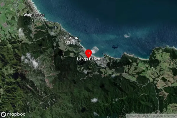
Langs Beach Satellite Map
Full Address
Langs Beach, Whangarei, NorthlandLangs Beach Coordinates
-36.04843,174.534903 (Latitude / Longitude)Langs Beach Map in NZ

NZ Island
North IslandCountry
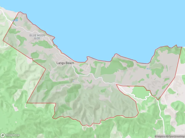
Langs Beach Area Map (Polygon)
Name
Langs BeachAdditional Name
Local Authority
Whangarei District
Langs Beach Suburbs (Sort by Population)
Langs Beach suburb has around
14.4 square
kilometers.There are more than 276 people (estimated)
live in Langs Beach, Whangarei, Northland, New Zealand.