Langs Beach Area, Langs Beach Postcode & Map in Langs Beach
Langs Beach Area, Langs Beach Postcode & Map in Langs Beach, Whangarei District, New Zealand
Langs Beach, Whangarei District, New Zealand
Langs Beach Area (estimated)
14.4 square kilometersLangs Beach Population (estimated)
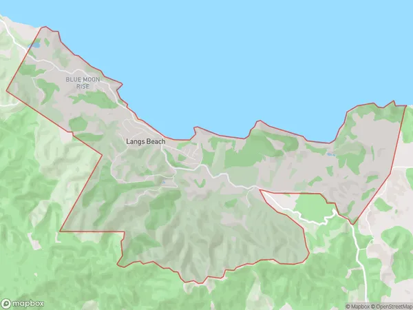
276 people live in Langs Beach, Northland, NZLangs Beach Suburb Area Map (Polygon)
Langs Beach Introduction
Langs Beach is a picturesque sandy beach located in Waipu, Northland, New Zealand. It is known for its crystal-clear waters, stunning sunsets, and peaceful surroundings. The beach is a popular spot for swimming, sunbathing, and fishing, and it is surrounded by lush native vegetation and breathtaking coastal views. Visitors can also explore the nearby Langs Beach Conservation Area, which is a protected area that offers a variety of wildlife and hiking trails.Region
Major City
Suburb Name
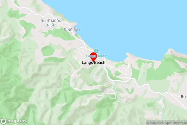
Langs BeachLangs Beach Area Map (Street)
Local Authority
Whangarei DistrictFull Address
Langs Beach, Whangarei District, New ZealandAddress Type
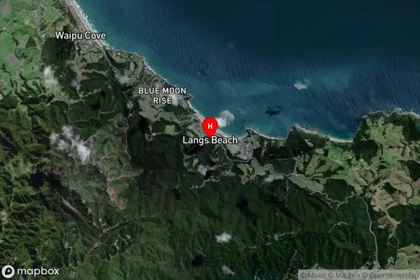
Locality in Town WaipuLangs Beach Suburb Map (Satellite)
Country
Main Region in AU
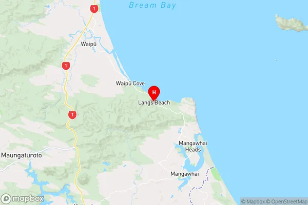
NorthlandLangs Beach Region Map
Coordinates
-36.0484302,174.5349034 (latitude/longitude)Distances
The distance from Langs Beach, Waipu, Whangarei District to NZ Top 10 Cities