Kiripaka Suburbs & Region, Kiripaka Map & Postcodes in Kiripaka, Whangarei, Northland
Kiripaka Postcodes, Kiripaka ZipCodes, Kiripaka , Kiripaka Northland, Kiripaka Suburbs, Kiripaka Region, Kiripaka Map, Kiripaka Area
Kiripaka Region
Kiripaka Suburbs
Kiripaka is a suburb place type in Whangarei, Northland, NZ. It contains 0 suburbs or localities.Kiripaka Postcodes
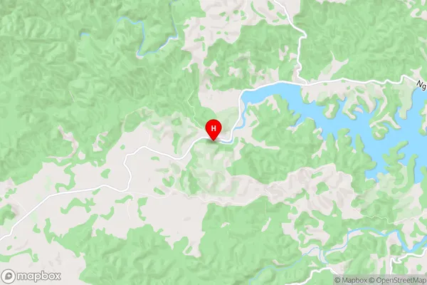
Kiripaka Region Map
Kiripaka Introduction
Kiripaka is a small town in Northland, New Zealand, located on State Highway 12. It is situated between the towns of Kaitaia and Kaikohe and is known for its scenic surroundings and outdoor activities. The town has a population of around 1,000 people and is surrounded by farmland and native forest. Kiripaka is a popular destination for tourists and outdoor enthusiasts, with nearby attractions such as the Waipoua Forest, the Bay of Islands, and the Hokianga Harbour. The town also has a primary school, a post office, a supermarket, and a variety of cafes and restaurants.Kiripaka Region
Kiripaka City
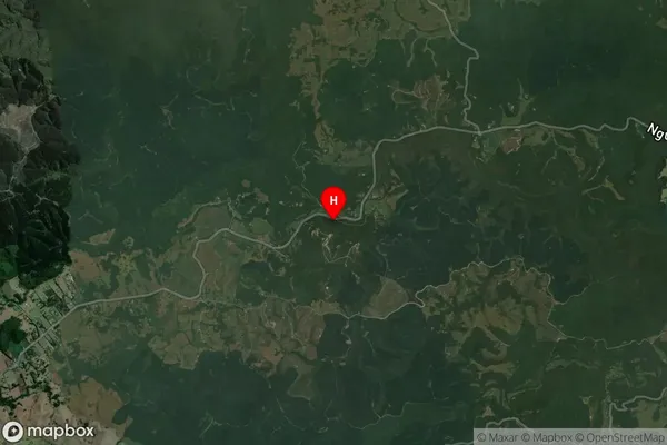
Kiripaka Satellite Map
Full Address
Kiripaka, Whangarei, NorthlandKiripaka Coordinates
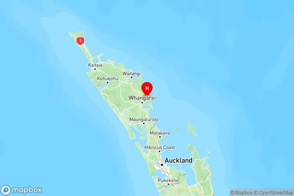
-35.644149,174.427099 (Latitude / Longitude)Kiripaka Map in NZ
NZ Island
North IslandCountry
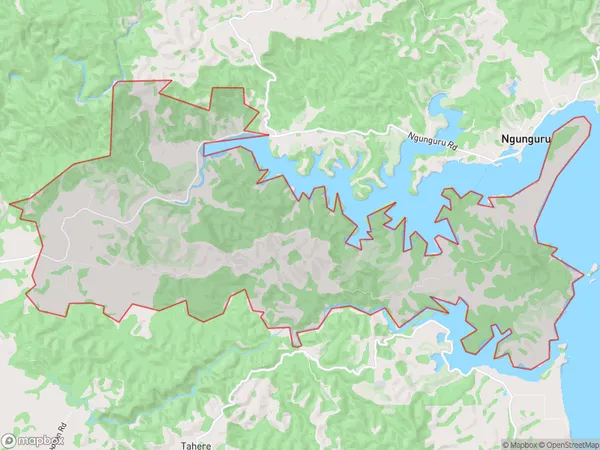
Kiripaka Area Map (Polygon)
Name
KiripakaAdditional Name
Local Authority
Whangarei District
Kiripaka Suburbs (Sort by Population)
Kiripaka suburb has around
33.1 square
kilometers.There are more than 465 people (estimated)
live in Kiripaka, Whangārei, Northland, New Zealand.