Kiripaka Area, Kiripaka Postcode(0173) & Map in Kiripaka
Kiripaka Area, Kiripaka Postcode(0173) & Map in Kiripaka, Whangarei District, New Zealand
Kiripaka, Whangarei District, New Zealand
Kiripaka Postcodes
Kiripaka Area (estimated)
33.1 square kilometersKiripaka Population (estimated)
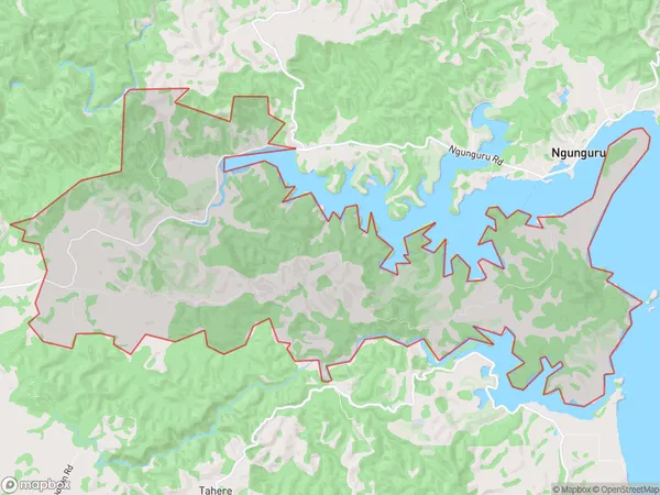
465 people live in Kiripaka, Whangārei, NZKiripaka Suburb Area Map (Polygon)
Kiripaka Introduction
Kiripaka is a small rural community in Northland, New Zealand, located on State Highway 12 and the banks of the Kiripaka River. It is known for its scenic surroundings, including lush forests, waterfalls, and a variety of bird species. The community has a primary school, a post office, and a small supermarket. Kiripaka is also home to a number of historic buildings, including the Kiripaka Hotel, which was built in the 1880s.Region
Major City
Suburb Name
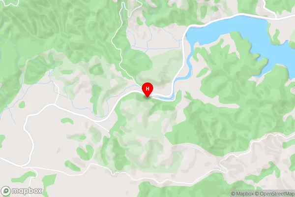
KiripakaKiripaka Area Map (Street)
Local Authority
Whangarei DistrictFull Address
Kiripaka, Whangarei District, New ZealandAddress Type
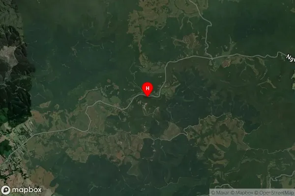
Locality in City WhangareiKiripaka Suburb Map (Satellite)
Country
Main Region in AU
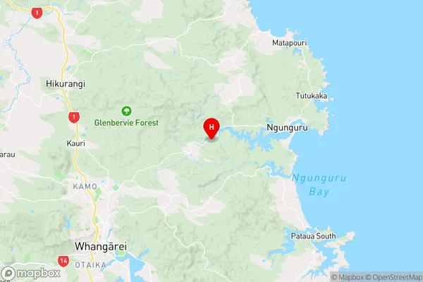
NorthlandKiripaka Region Map
Coordinates
-35.6441491,174.4270992 (latitude/longitude)Distances
The distance from Kiripaka, Whangarei, Whangarei District to NZ Top 10 Cities