Kauri Suburbs & Region, Kauri Map & Postcodes in Kauri, Whangarei, Northland
Kauri Postcodes, Kauri ZipCodes, Kauri , Kauri Northland, Kauri Suburbs, Kauri Region, Kauri Map, Kauri Area
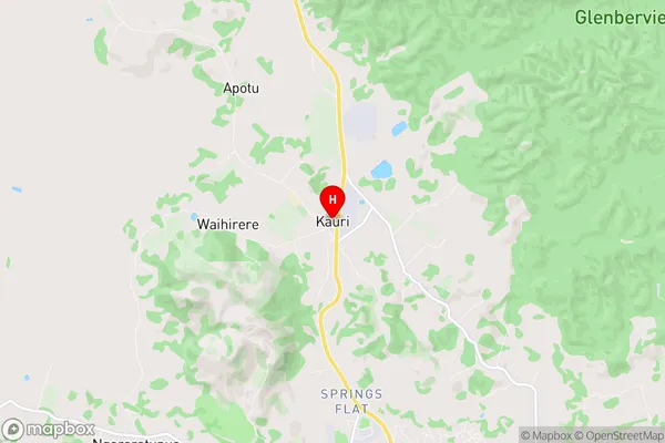
Kauri Region (Apotu, Ruatangata Region)
Kauri Suburbs
Kauri is a suburb place type in Whangarei, Northland, NZ. It contains 1 suburbs or localities.Kauri Postcodes
Kauri Region Map
Kauri Introduction
Kauri is a small town in Northland, New Zealand, located on the Bay of Islands. It is known for its scenic beauty, including the Kauri Forest, which is one of the last remaining stands of ancient kauri trees. The town is also home to the Kauri Museum, which showcases the history and culture of the kauri tree. Kauri is a popular destination for tourists and outdoor enthusiasts, with many hiking and fishing opportunities in the surrounding area.Kauri Region
Kauri City
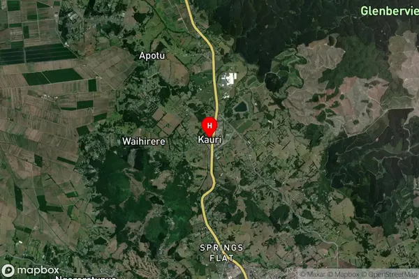
Kauri Satellite Map
Full Address
Kauri, Whangarei, NorthlandKauri Coordinates
-35.646024,174.294996 (Latitude / Longitude)Kauri Map in NZ
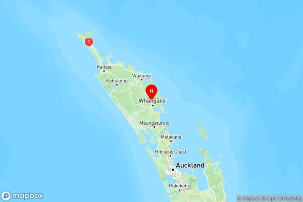
NZ Island
North IslandCountry
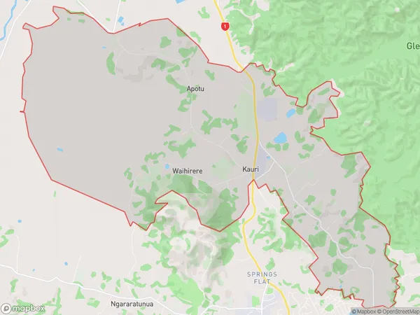
Kauri Area Map (Polygon)
Name
KauriAdditional Name
Apotu, RuatangataLocal Authority
Whangarei District
Kauri Suburbs (Sort by Population)
Kauri
Kauri - 1711