Kauri Area, Kauri Postcode(0114) & Map in Kauri
Kauri Area, Kauri Postcode(0114) & Map in Kauri, Whangarei District, New Zealand
Kauri, Whangarei District, New Zealand
Kauri Postcodes
Kauri Area (estimated)
36.5 square kilometersKauri Population (estimated)
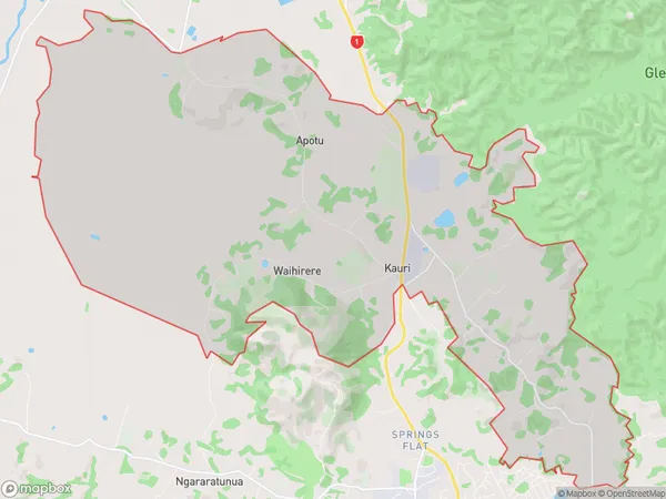
1711 people live in Kauri, Whangārei, NZKauri Suburb Area Map (Polygon)
Kauri Introduction
Kauri is a tree that is native to New Zealand and is known for its beautiful and durable wood. It is one of the most valuable timber trees in the world and is highly prized for its unique fragrance and color. Kauri trees are found in Northland, New Zealand, and are known for their resilience and ability to grow in a variety of environments. They are often used in the construction of furniture, boats, and other wooden products.Region
Major City
Suburb Name
KauriOther Name(s)
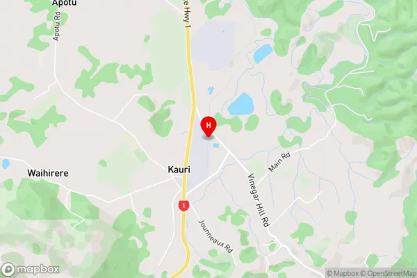
Apotu, RuatangataKauri Area Map (Street)
Local Authority
Whangarei DistrictFull Address
Kauri, Whangarei District, New ZealandAddress Type
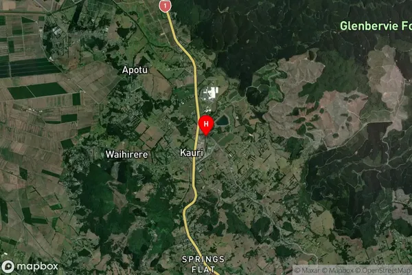
Locality in Town KauriKauri Suburb Map (Satellite)
Country
Main Region in AU
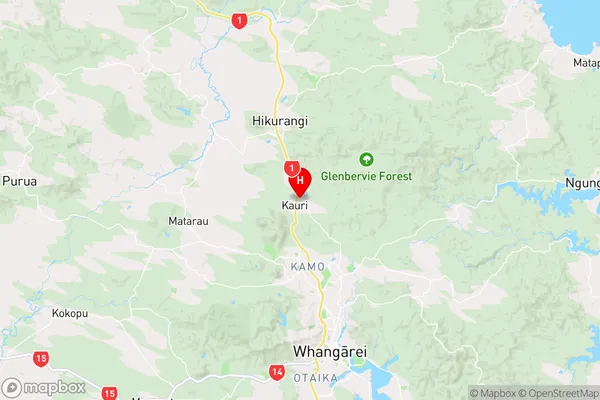
NorthlandKauri Region Map
Coordinates
-35.6429566,174.2986436 (latitude/longitude)Distances
The distance from Kauri, Kauri, Whangarei District to NZ Top 10 Cities