Horahora Suburbs & Region, Horahora Map & Postcodes in Horahora, Whangarei, Northland
Horahora Postcodes, Horahora ZipCodes, Horahora , Horahora Northland, Horahora Suburbs, Horahora Region, Horahora Map, Horahora Area
Horahora Region
Horahora Suburbs
Horahora is a suburb place type in Whangarei, Northland, NZ. It contains 0 suburbs or localities.Horahora Postcodes
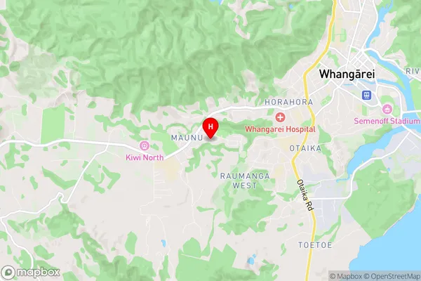
Horahora Region Map
Horahora Introduction
Horahora is a small rural community in Northland, New Zealand. It is located on the banks of the Horahora River, approximately 120 kilometers north of Whangarei. The community has a population of around 100 people and is known for its scenic surroundings and peaceful atmosphere. The area is popular with outdoor enthusiasts, with many opportunities for hiking, fishing, and hunting. The local school is also a hub of community activity, with regular events and gatherings held there. Horahora is a charming and welcoming community that offers a unique blend of rural and coastal living.Horahora Region
Horahora City
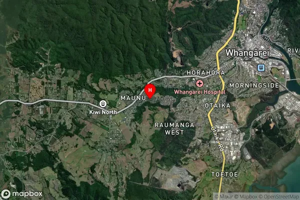
Horahora Satellite Map
Full Address
Horahora, Whangarei, NorthlandHorahora Coordinates
-35.740708,174.286009 (Latitude / Longitude)Horahora Map in NZ
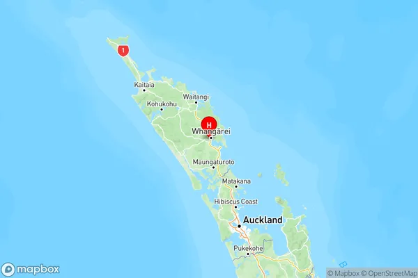
NZ Island
North IslandCountry
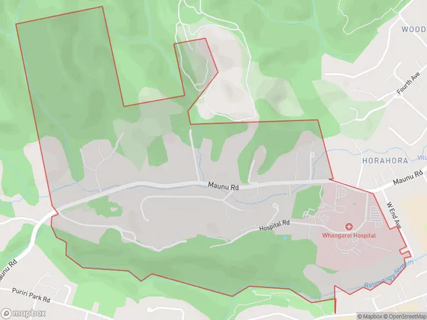
Horahora Area Map (Polygon)
Name
HorahoraAdditional Name
Local Authority
Whangarei District
Horahora Suburbs (Sort by Population)
Horahora suburb has around
2.0 square
kilometers.There are more than 1266 people (estimated)
live in Horahora, Whangārei, Northland, New Zealand.