Horahora Area, Horahora Postcode(0101) & Map in Horahora
Horahora Area, Horahora Postcode(0101) & Map in Horahora, Whangarei District, New Zealand
Horahora, Whangarei District, New Zealand
Horahora Area (estimated)
2.0 square kilometersHorahora Population (estimated)
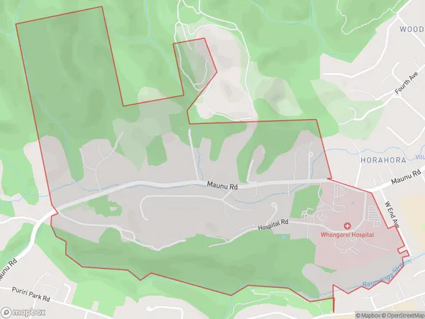
1266 people live in Horahora, Whangārei, NZHorahora Suburb Area Map (Polygon)
Horahora Introduction
Horahora is a small rural community in Northland, New Zealand, located on the banks of the Horahora River. It is known for its scenic surroundings, including lush forests, waterfalls, and a variety of wildlife. The community has a primary school, a post office, and a small supermarket. It is a popular destination for outdoor enthusiasts, with many hiking and fishing trails in the surrounding area.Region
Major City
Suburb Name
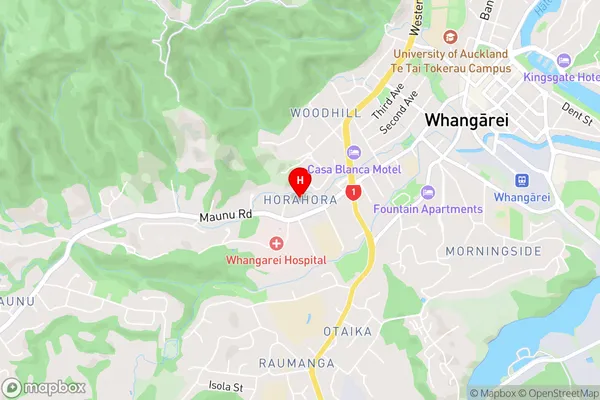
HorahoraHorahora Area Map (Street)
Local Authority
Whangarei DistrictFull Address
Horahora, Whangarei District, New ZealandAddress Type
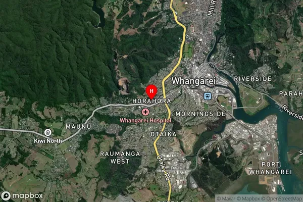
Suburb in City WhangareiHorahora Suburb Map (Satellite)
Country
Main Region in AU
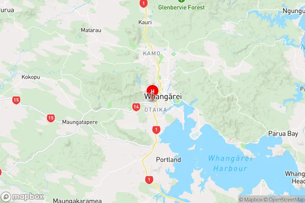
NorthlandHorahora Region Map
Coordinates
-35.7330929,174.3051068 (latitude/longitude)Distances
The distance from Horahora, Whangarei, Whangarei District to NZ Top 10 Cities