Glenbervie Suburbs & Region, Glenbervie Map & Postcodes in Glenbervie, Whangarei, Northland
Glenbervie Postcodes, Glenbervie ZipCodes, Glenbervie , Glenbervie Northland, Glenbervie Suburbs, Glenbervie Region, Glenbervie Map, Glenbervie Area
Glenbervie Region
Glenbervie Suburbs
Glenbervie is a suburb place type in Whangarei, Northland, NZ. It contains 0 suburbs or localities.Glenbervie Postcodes
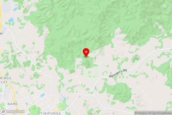
Glenbervie Region Map
Glenbervie Introduction
Glenbervie is a small town in Northland, New Zealand, located on State Highway 12. It is known for its scenic surroundings, including the Glenbervie Forest Park and the Glenbervie Waterfall. The town has a population of around 100 people and is a popular stop for tourists traveling through the region. The town also has a primary school, a post office, and a small supermarket.Glenbervie Region
Glenbervie City
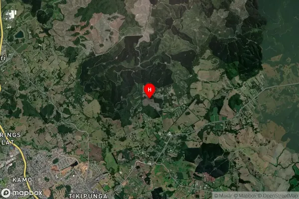
Glenbervie Satellite Map
Full Address
Glenbervie, Whangarei, NorthlandGlenbervie Coordinates
-35.657713,174.347574 (Latitude / Longitude)Glenbervie Map in NZ
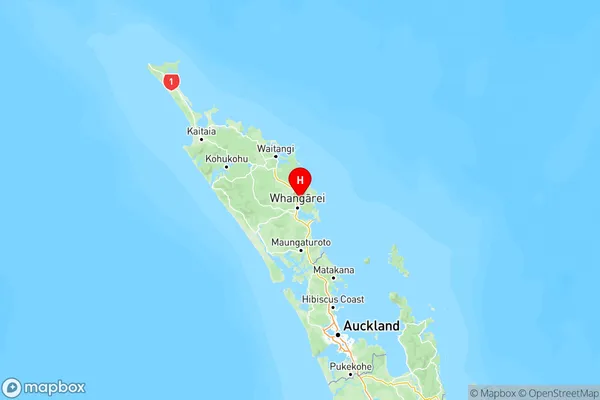
NZ Island
North IslandCountry
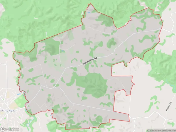
Glenbervie Area Map (Polygon)
Name
GlenbervieAdditional Name
Local Authority
Whangarei District
Glenbervie Suburbs (Sort by Population)
Glenbervie suburb has around
24.7 square
kilometers.There are more than 1160 people (estimated)
live in Glenbervie, Whangārei, Northland, New Zealand.