Glenbervie Area, Glenbervie Postcode(0112) & Map in Glenbervie
Glenbervie Area, Glenbervie Postcode(0112) & Map in Glenbervie, Whangarei District, New Zealand
Glenbervie, Whangarei District, New Zealand
Glenbervie Postcodes
Glenbervie Area (estimated)
24.7 square kilometersGlenbervie Population (estimated)
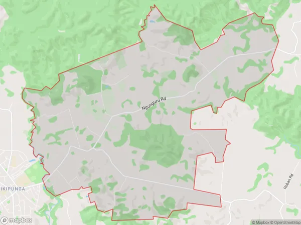
1160 people live in Glenbervie, Whangārei, NZGlenbervie Suburb Area Map (Polygon)
Glenbervie Introduction
Glenbervie is a small rural community in Northland, New Zealand, located on State Highway 12. It is known for its scenic views, lush green landscapes, and peaceful atmosphere. The area has a population of around 100 people and is surrounded by farmland and native forests. Glenbervie is a popular destination for outdoor enthusiasts, with many walking and hiking trails nearby. The community also has a small school, a post office, and a convenience store.Region
Major City
Suburb Name
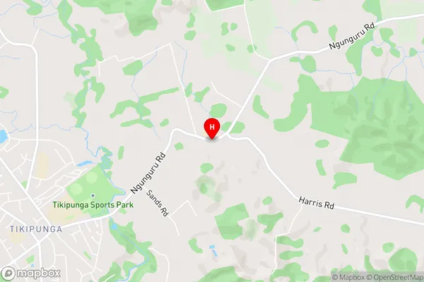
GlenbervieGlenbervie Area Map (Street)
Local Authority
Whangarei DistrictFull Address
Glenbervie, Whangarei District, New ZealandAddress Type
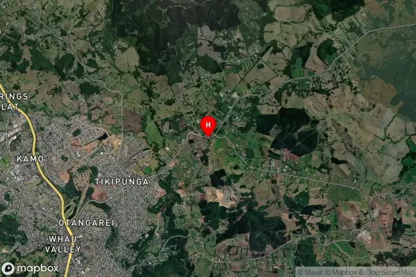
Locality in City WhangareiGlenbervie Suburb Map (Satellite)
Country
Main Region in AU
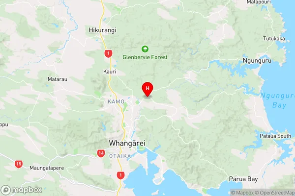
NorthlandGlenbervie Region Map
Coordinates
-35.6761254,174.3477717 (latitude/longitude)Distances
The distance from Glenbervie, Whangarei, Whangarei District to NZ Top 10 Cities