Cocos (Keeling) Islands Suburbs & Region, Cocos (Keeling) Islands Map & Postcodes
Cocos (Keeling) Islands Suburbs & Region, Cocos (Keeling) Islands Map & Postcodes in Cocos (Keeling) Islands, Other Territories, AU
Cocos (Keeling) Islands Region
Region Name
Cocos (Keeling) Islands (, AU)Cocos (Keeling) Islands Area
13.73 square kilometers (13.73 ㎢)Cocos (Keeling) Islands Introduction
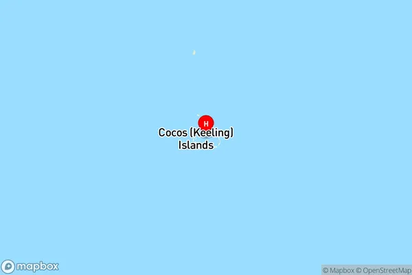
The Cocos (Keeling) Islands, Other Territories, Other Territories, AU, are an Australian external territory in the Indian Ocean, located 2,000 kilometers west of Perth, Western Australia. The islands are home to a diverse range of flora and fauna, including coconut palms, coral reefs, and a variety of bird species. The population of the Cocos (Keeling) Islands is made up of approximately 5,000 people, who primarily rely on fishing and tourism for their livelihood. The islands have a unique political status as an Australian territory, but they also have a strong cultural identity that is distinct from that of Australia. The Cocos (Keeling) Islands are a popular destination for tourists, who come to enjoy the beaches, snorkeling, and diving opportunities. The islands are also home to a number of important historical sites, including the ruins of the Cocos (Keeling) Islands Settlement, which was established in the 19th century by British colonists.Australia State
City or Big Region
District or Regional Area
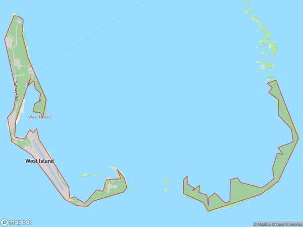
Cocos (Keeling) Islands Region Map

Cocos (Keeling) Islands Suburbs
Cocos (Keeling) Islands
Cocos (Keeling) Islands full address
Cocos (Keeling) Islands, Other Territories, Australia, SaCode: 90102Country
Cocos (Keeling) Islands, Other Territories, Australia, SaCode: 90102
Cocos (Keeling) Islands Suburbs & Region, Cocos (Keeling) Islands Map & Postcodes has 1 areas or regions above, and there are 0 Cocos (Keeling) Islands suburbs below. The sa3code for the Cocos (Keeling) Islands region is 90102. Its latitude and longitude coordinates are -12.1642,96.871.
