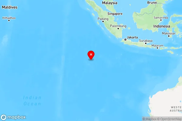
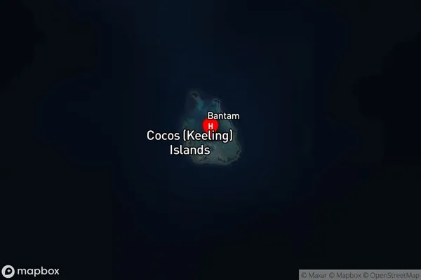
Home Island Cocos Keeling Islands Area, Home Island Cocos Keeling Islands Postcode(6799) & Map in Home Island Cocos Keeling Islands, Other Territories, WA
Home Island Cocos Keeling Islands Area, Home Island Cocos Keeling Islands Postcode(6799) & Map in Home Island Cocos Keeling Islands, Other Territories, WA, AU, Postcode: 6799
Home Island Cocos Keeling Islands, Cocos (Keeling) Islands, Cocos (Keeling) Islands, Other Territories, Western Australia, Australia, 6799
Home Island Cocos Keeling Islands Postcode
Area Name
Home Island Cocos Keeling IslandsHome Island Cocos Keeling Islands Suburb Area Map (Polygon)

Home Island Cocos Keeling Islands Introduction
Home Island Cocos Keeling Islands, Other Territories, WA, AU is a remote Australian territory in the Indian Ocean. It is the largest of the Cocos Keeling Islands and is home to a small population of around 600 people. The island is known for its beautiful beaches, crystal-clear waters, and coral reefs.State Name
City or Big Region
District or Regional Area
Suburb Name
Home Island Cocos Keeling Islands Region Map

Country
Main Region in AU
R3Coordinates
-12.164165,96.870956 (latitude/longitude)Home Island Cocos Keeling Islands Area Map (Street)

Longitude
96.83152Latitude
-12.169719Home Island Cocos Keeling Islands Suburb Map (Satellite)

Distances
The distance from Home Island Cocos Keeling Islands, Other Territories, WA to AU Greater Capital CitiesSA1 Code 2011
90102100202SA1 Code 2016
90102100202SA2 Code
901021002SA3 Code
90102SA4 Code
901RA 2011
5RA 2016
5MMM 2015
7MMM 2019
7Charge Zone
undefinedLGA Region
ExmouthLGA Code
53360Electorate
Lingiari