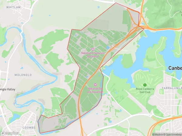
Arboretum Suburbs & Region, Arboretum Map & Postcodes
Arboretum Suburbs & Region, Arboretum Map & Postcodes in Arboretum, Molonglo, Australian Capital Territory, ACT, AU
Arboretum Region
Region Name
Arboretum (ACT, AU)Arboretum Area
6.04 square kilometers (6.04 ㎢)Arboretum Introduction
The Australian National Arboretum is located in Canberra, Australian Capital Territory, Australia, and is a national arboretum and botanical garden. It is situated on the slopes of Mount Ainslie, in the district of Acton. The arboretum is home to over 1,500 species of trees and shrubs from around the world, including many rare and endangered species. It also features a number of gardens and themed areas, including the Australian Garden, the Asian Garden, and the Mediterranean Garden. The arboretum is open to the public all year round and offers a range of activities and events, including guided tours, workshops, and exhibitions.Australia State
City or Big Region
Greater Capital City
Australian Capital Territory (8ACTE)District or Regional Area
Suburb Name
Arboretum Suburbs
Arboretum full address
Arboretum, Molonglo, Australian Capital Territory, ACT, Australia, SaCode: 801101134Country
Arboretum, Molonglo, Australian Capital Territory, ACT, Australia, SaCode: 801101134
Arboretum Suburbs & Region, Arboretum Map & Postcodes has 0 areas or regions above, and there are 0 Arboretum suburbs below. The sa2code for the Arboretum region is 801101134. Arboretum area belongs to Australia's greater capital city Australian Capital Territory.
