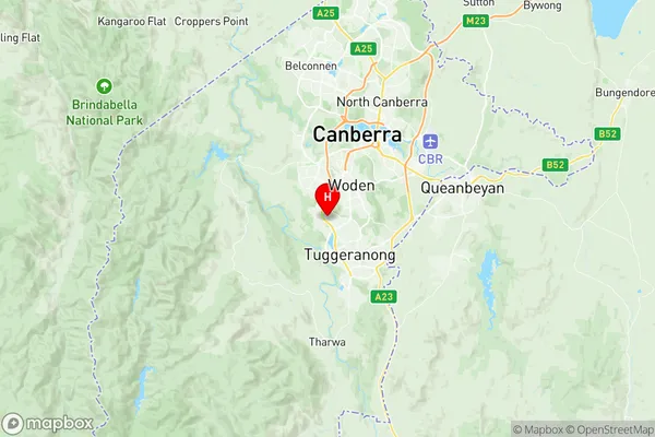
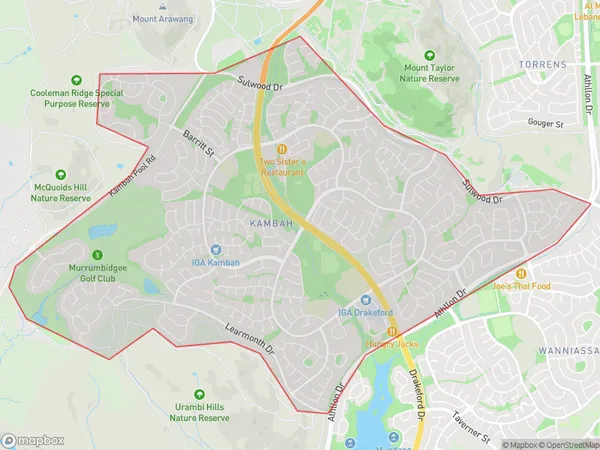
Kambah Suburbs & Region, Kambah Map & Postcodes
Kambah Suburbs & Region, Kambah Map & Postcodes in Kambah, Tuggeranong, Australian Capital Territory, ACT, AU
Kambah Region
Region Name
Kambah (ACT, AU)Kambah Area
11.34 square kilometers (11.34 ㎢)Postal Codes
2902 (In total, there are 1 postcodes in Kambah.)Kambah Introduction
Kambah is a suburb of Canberra, Australian Capital Territory, Australia, located in the Canberra Central Business District. It is named after the Kambah Creek, which flows through the suburb. Kambah is located 10 kilometers south of Canberra's city center and is part of the broader Canberra Region. The suburb has a population of approximately 5,000 people and is home to a variety of residential properties, including apartments, townhouses, and detached homes. Kambah has a number of amenities, including a shopping center, a library, a community center, and a medical center. The suburb is also home to a number of parks and recreational facilities, including a swimming pool, a tennis court, and a basketball court.Australia State
City or Big Region
Greater Capital City
Australian Capital Territory (8ACTE)District or Regional Area
Suburb Name
Kambah Region Map

Kambah Postcodes / Zip Codes
Kambah Suburbs
Kambah full address
Kambah, Tuggeranong, Australian Capital Territory, ACT, Australia, SaCode: 801071082Country
Kambah, Tuggeranong, Australian Capital Territory, ACT, Australia, SaCode: 801071082
Kambah Suburbs & Region, Kambah Map & Postcodes has 0 areas or regions above, and there are 2 Kambah suburbs below. The sa2code for the Kambah region is 801071082. Its latitude and longitude coordinates are -35.384,149.064. Kambah area belongs to Australia's greater capital city Australian Capital Territory.
Kambah Suburbs & Localities
1. Kambah Village
2. Kambah
