Calwell Suburbs & Region, Calwell Map & Postcodes
Calwell Suburbs & Region, Calwell Map & Postcodes in Calwell, Tuggeranong, Australian Capital Territory, ACT, AU
Calwell Region
Region Name
Calwell (ACT, AU)Calwell Area
3.89 square kilometers (3.89 ㎢)Postal Codes
2905 (In total, there are 1 postcodes in Calwell.)Calwell Introduction
The Australian Capital Territory (ACT) is a territory in Australia located in the southeast region of the country. It is bordered by New South Wales to the west, Victoria to the south, and the Australian Capital Territory (ACT) to the east. Canberra is the capital city of the ACT and is located in the southeast of the territory. The ACT has a population of approximately 400,000 people and is known for its natural beauty, including the Mount Ainslie Lookout, Lake Burley Griffin, and the National Zoo and Aquarium. The territory is also home to a number of important government institutions, including the Australian Parliament House and the High Court of Australia.Australia State
City or Big Region
Greater Capital City
Australian Capital Territory (8ACTE)District or Regional Area
Suburb Name
Calwell Region Map

Calwell Postcodes / Zip Codes
Calwell Suburbs
Calwell full address
Calwell, Tuggeranong, Australian Capital Territory, ACT, Australia, SaCode: 801071073Country
Calwell, Tuggeranong, Australian Capital Territory, ACT, Australia, SaCode: 801071073
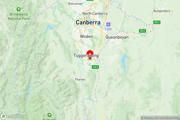
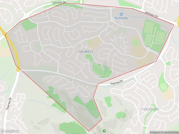
Calwell Suburbs & Region, Calwell Map & Postcodes has 0 areas or regions above, and there are 1 Calwell suburbs below. The sa2code for the Calwell region is 801071073. Its latitude and longitude coordinates are -35.438,149.11. Calwell area belongs to Australia's greater capital city Australian Capital Territory.
Calwell Suburbs & Localities
1. Calwell
